Public domain
Images of Gale #14
From the collection of NASA Image and Video Library. Free to download, adapt and use — no permission needed.
About this work
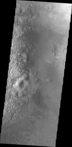
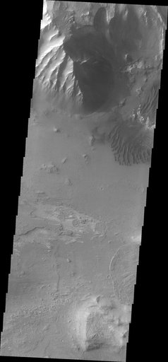
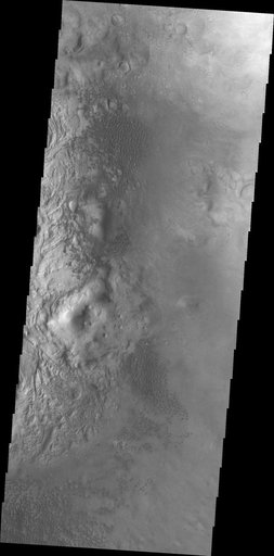
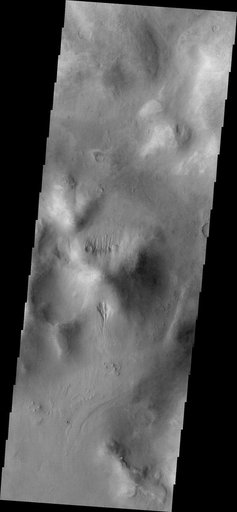
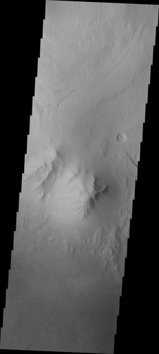
This image from NASA Mars Odyssey spacecraft shows the highest elevation of layered deposit occurs at the top, but just south of the center of the image is a peak that does not appear to be layered and is eroding differently than the rest of Mt. Sharp.
NASA Image and Video Library’s own descriptionSubjects
Credit lineImages of Gale #14. NASA/JPL, 2013-04-22. Public domain. ID: PIA16966.