Public domain
Images of Gale #15
From the collection of NASA Image and Video Library. Free to download, adapt and use — no permission needed.
About this work
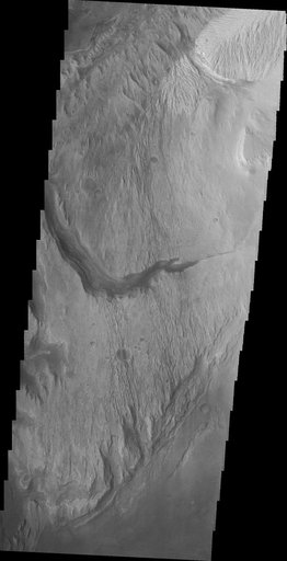
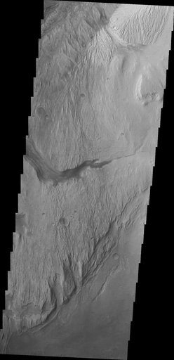
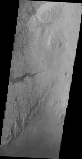
The highest elevations of Mt. Sharp are just outside this image to the east. In the center of this image from NASA Mars Odyssey spacecraft is a channel, indicating that fluids played a part in eroding Mt. Sharp.
NASA Image and Video Library’s own descriptionSubjects
Credit lineImages of Gale #15. NASA/JPL, 2013-04-23. Public domain. ID: PIA16967.