Public domain
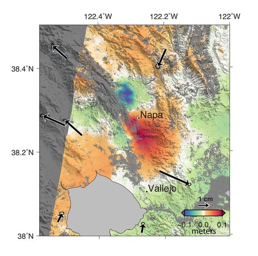
NASA Analyses of Global Positioning System Data and Italian Radar Satellite Data Reveal Napa Quake Ground Deformation
From the collection of NASA Image and Video Library. Free to download, adapt and use — no permission needed.
About this work
A magnitude 6.0 earthquake struck southern Napa county northeast of San Francisco, California, on Aug. 24, 2014. NASA satellite data reveal ground defomation.
NASA Image and Video Library’s own descriptionSubjects
Credit lineNASA Analyses of Global Positioning System Data and Italian Radar Satellite Data Reveal Napa Quake Ground Deformation. NASA/JPL, 2014-09-04. Public domain. ID: PIA18798.
Similar works
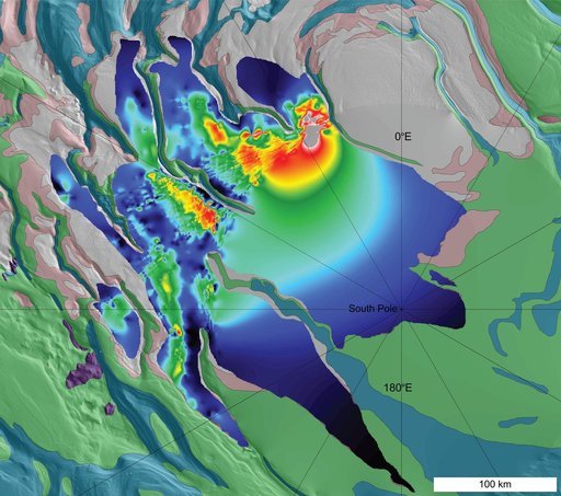 Thickness Map of Buried Carbon-Dioxide Deposit
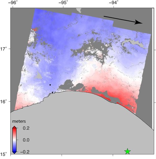 Sentinel-1 Radar Shows Ground Motion From Sept. 2017 Oaxaca-Chiapas, Mexico Quake
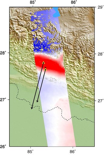 Radar Shows Kathmandu Area Uplifted 5 Feet by Gorkha, Nepal Earthquake
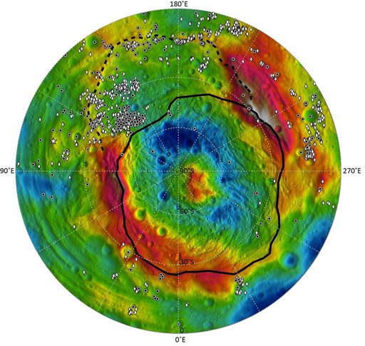 Distribution of Vesta Dark Materials, Southern View
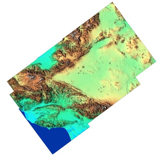 Southern California Shaded Relief, Color as Height
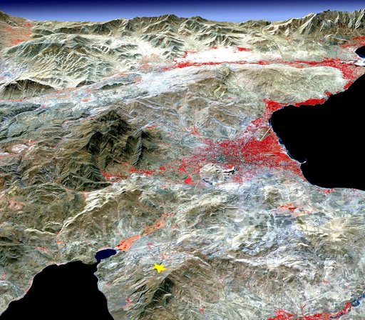 NASA Images Topography of Quake-Stricken Eastern Turkey