Public domain
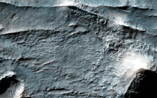
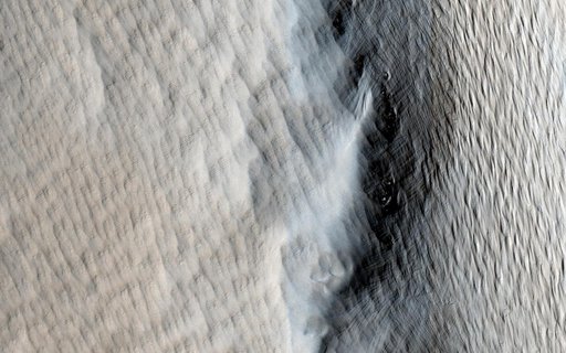
The Lowest Point of Osuga Valles
From the collection of NASA Image and Video Library. Free to download, adapt and use — no permission needed.
About this work
Osuga Valles lies around 170 kilometers to the south of Eos Chasma, which is at the eastern end of the vast Valles Marineris canyon system as seen by NASA Mars Reconnaissance Orbiter.
NASA Image and Video Library’s own descriptionCredit lineThe Lowest Point of Osuga Valles. NASA/JPL, 2015-03-25. Public domain. ID: PIA19352.