Public domain
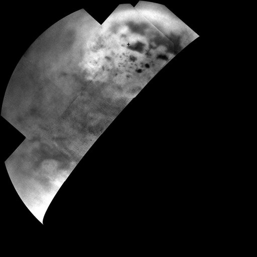
Titan Polar Maps - 2015
From the collection of NASA Image and Video Library. Free to download, adapt and use — no permission needed.
About this work
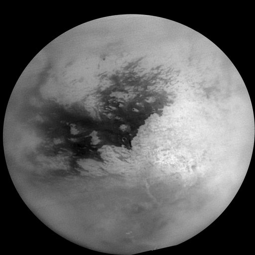
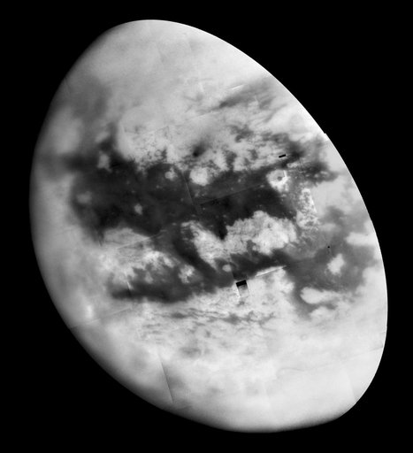
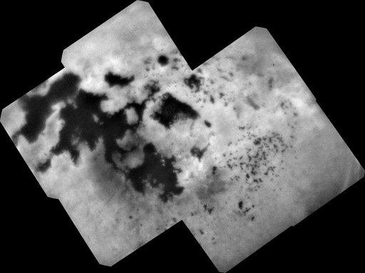
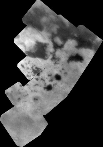
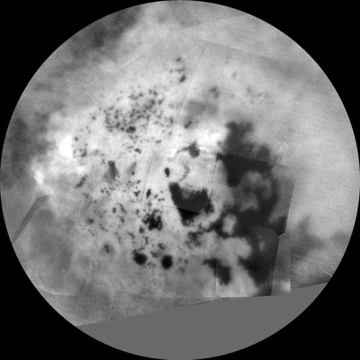
The northern and southern hemispheres of Titan are seen in these polar stereographic maps, assembled in 2015 using the best-available images of the giant Saturnian moon from NASA's Cassini mission. The images were taken by Cassini's imaging cameras using a spectral filter centered at 938 nanometers, allowing researchers to examine variations in albedo (or inherent brightness) across the surface of Titan.
NASA Image and Video Library’s own descriptionSubjects
Credit lineTitan Polar Maps - 2015. NASA/JPL, 2015-10-09. Public domain. ID: PIA19657.