Public domain
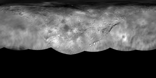
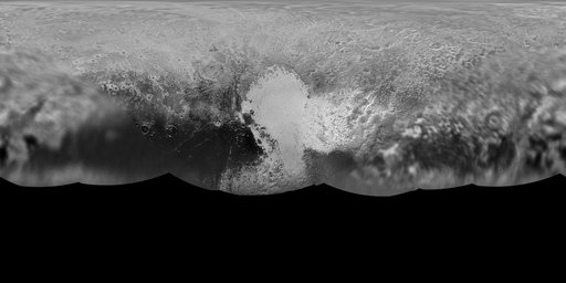
Global Map of Pluto
From the collection of NASA Image and Video Library. Free to download, adapt and use — no permission needed.
About this work
The science team of NASA's New Horizons mission has produced an updated global map of the dwarf planet Pluto. The map includes all resolved images of the surface acquired between July 7-14, 2015, at pixel resolutions ranging from 40 kilometers (24 miles) on the Charon-facing hemisphere (left and right sides of the map) to 400 meters (1,250 feet) on the anti-Charon facing hemisphere (map center).
NASA Image and Video Library’s own descriptionSubjects
Credit lineGlobal Map of Pluto. NASA/JPL, 2015-07-27. Public domain. ID: PIA19858.