Public domain
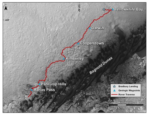
Curiosity Rover Traverse, First 1,163 Sols on Mars
From the collection of NASA Image and Video Library. Free to download, adapt and use — no permission needed.
About this work
This map shows the route driven by NASA's Curiosity Mars rover from the location where it landed in August 2012 to its location in mid-November 2015, approaching examples of dunes in the "Bagnold Dunes" dune field. The traverse line covers drives completed through the 1,165rd Martian day, or sol, of Curiosity's work on Mars (Nov. 15, 2015). The base image for this map is from the High Resolution Imaging Science Experiment (HiRISE) camera on NASA's Mars Reconnaissance Orbiter. North is up.
NASA Image and Video Library’s own descriptionSubjects
Credit lineCuriosity Rover Traverse, First 1,163 Sols on Mars. NASA/JPL, 2015-11-16. Public domain. ID: PIA20162.
Similar works
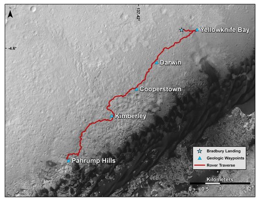 Curiosity Mars Rover Route from Landing to Base of Mount Sharp
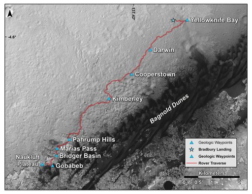 New Waypoint, Science Team Newcomers for Curiosity
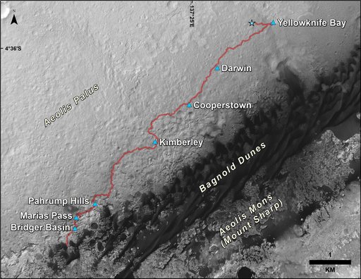 Curiosity Rover Traverse, First 1,185 Sols on Mars
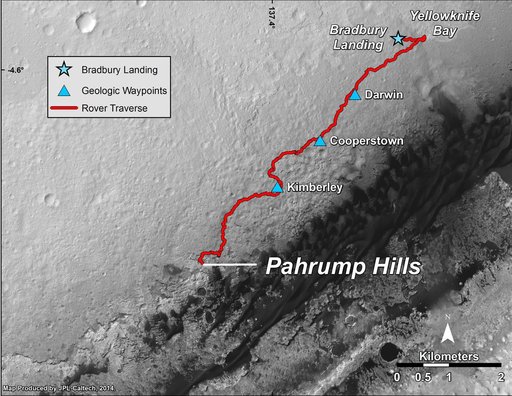 Curiosity Mars Rover Route from Landing to Pahrump Hills
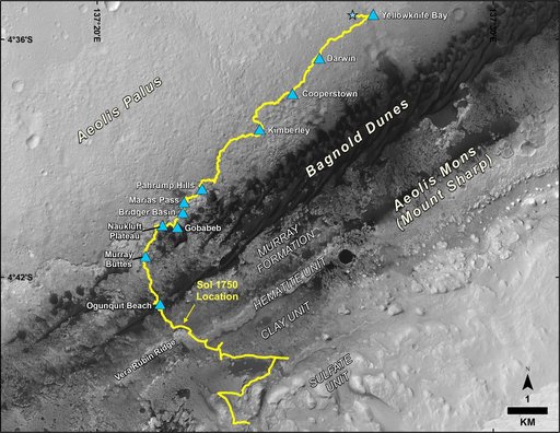 Mid-2017 Map of NASA's Curiosity Mars Rover Mission
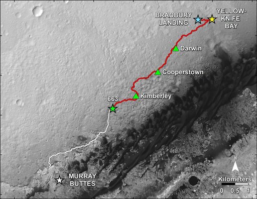 Curiosity Progress on Route to Mount Sharp