Public domain
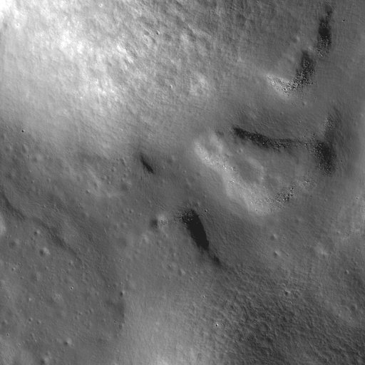
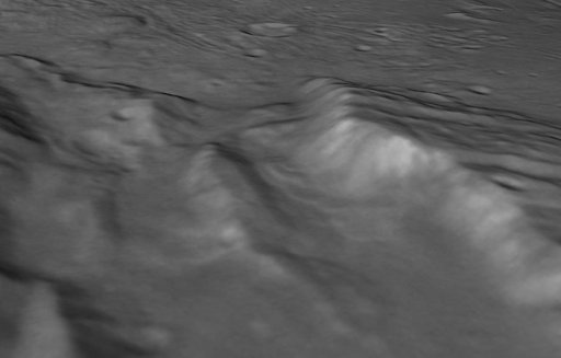
Landslides in a Charon Chasm
From the collection of NASA Image and Video Library. Free to download, adapt and use — no permission needed.
About this work
perspective view of Charon's informally named "Serenity Chasm" consists of topography generated from stereo reconstruction of images taken by New Horizons' Long Range Reconnaissance Imager (LORRI) and Multispectral Visible Imaging Camera (MVIC), supplemented by a "shape-from-shading" algorithm. The topography is then overlain with the PIA21128 image mosaic and the perspective view is rendered.
NASA Image and Video Library’s own descriptionCredit lineLandslides in a Charon Chasm. NASA/JPL, 2016-10-18. Public domain. ID: PIA21129.