Public domain
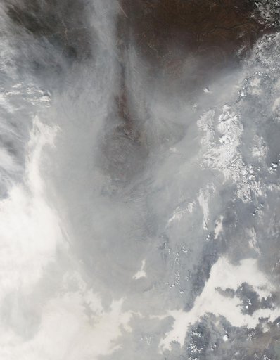
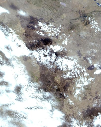
Oregon Wildfire Captured in NASA Satellite Image
From the collection of NASA Image and Video Library. Free to download, adapt and use — no permission needed.
About this work
In early August 2017, the Cinder Butte fire burned 9 miles (15 kilometers) outside of the town of Riley, Oregon, and consumed more than 82 square miles (53,000 acres) of forest and brushland. The fire threatened tribal archaeological sites with strong significance to the Burns Paiute and Klamath tribes. Firefighters were able to contain the fire before it could damage the historic sites. On the image, the burned area is gray-brown, and cloud shadows are dark gray-to-black.
NASA Image and Video Library’s own descriptionCredit lineOregon Wildfire Captured in NASA Satellite Image. NASA/JPL, 2017-08-24. Public domain. ID: PIA21879.