Public domain
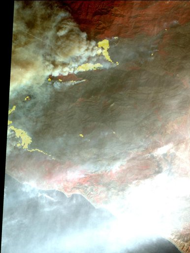
Destructive Thomas Fire Continues Its Advance in New NASA Satellite Image
From the collection of NASA Image and Video Library. Free to download, adapt and use — no permission needed.
About this work
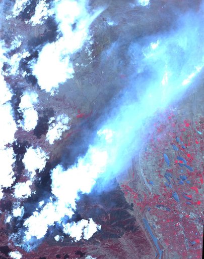
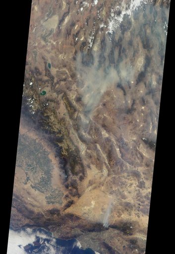
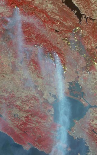
The Thomas fire, west of Los Angeles, continues to advance to the west and north and is threatening a number of coastal communities, including Santa Barbara. It is now the fifth largest wildfire in modern California history. According to CAL FIRE, as of midday Dec. 11, the fire had consumed more than 230,000 acres and was 15 percent contained. The Advanced Spaceborne Thermal Emission and Reflection Radiometer (ASTER) instrument on NASA's Terra satellite captured this image on Dec. 10.
NASA Image and Video Library’s own descriptionCredit lineDestructive Thomas Fire Continues Its Advance in New NASA Satellite Image. NASA/JPL, 2017-12-11. Public domain. ID: PIA22122.