Public domain
Investigating Mars: Candor Chasma
From the collection of NASA Image and Video Library. Free to download, adapt and use — no permission needed.
About this work
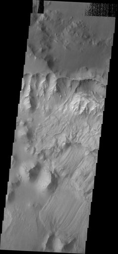
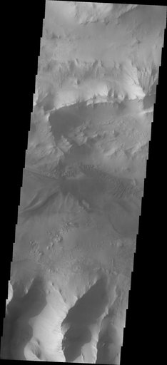
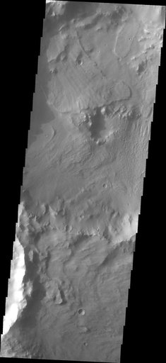
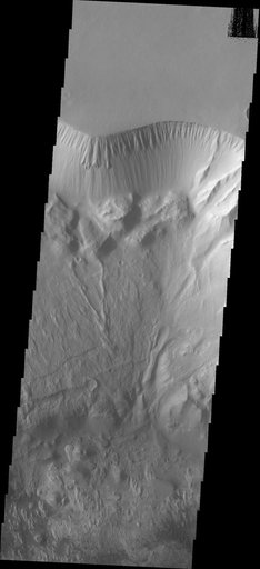
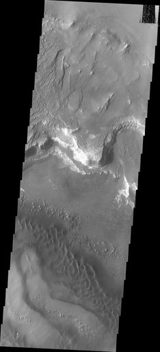
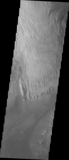
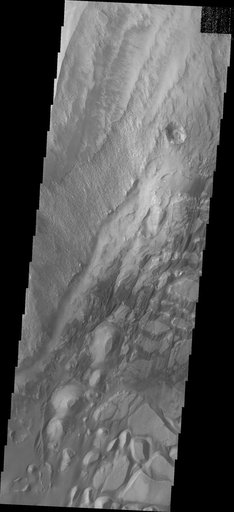
The bottom half of this image of central Candor Chasma shows a surface topography called chaos. Chaos is a region of small to medium sized mesas surrounded by valleys that are usually the same elevation. In this image sand and sand dunes are accumulating in the valleys and increasing in depth. Candor Chasma is one of the largest canyons that make up Valles Marineris. It is approximately 810 km long (503 miles) and has is divided into two regions - eastern and western Candor.
NASA Image and Video Library’s own descriptionSubjects
Credit lineInvestigating Mars: Candor Chasma. NASA/JPL, 2018-01-17. Public domain. ID: PIA22168.