Public domain
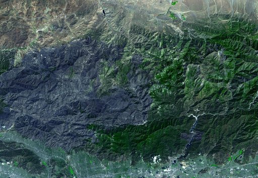
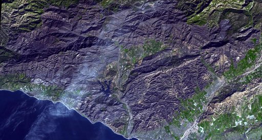
Devastation from California's Largest Wildfire Seen in New NASA Satellite Image
From the collection of NASA Image and Video Library. Free to download, adapt and use — no permission needed.
About this work
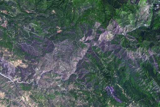
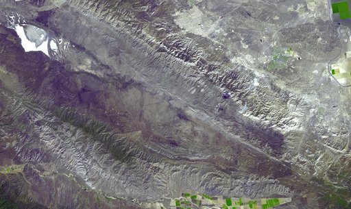
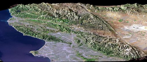
The Thomas Fire is the largest wildfire in California's recorded history. As of January 3, 2018, it was 93 percent contained after burning 282,000 acres and destroying 1,063 structures. The fire started Dec. 4, 2017, and quickly spread out of control, fanned by high temperatures and winds. At its peak, more than 8,500 firefighters mobilized to fight it. The Advanced Spaceborne Thermal Emission and Reflection Radiometer (ASTER) instrument on NASA's Terra satellite acquired this image on Dec.
NASA Image and Video Library’s own descriptionCredit lineDevastation from California's Largest Wildfire Seen in New NASA Satellite Image. NASA/JPL, 2018-01-05. Public domain. ID: PIA22189.