Public domain
Kasei Valles
From the collection of NASA Image and Video Library. Free to download, adapt and use — no permission needed.
About this work
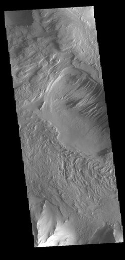
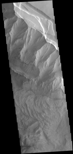
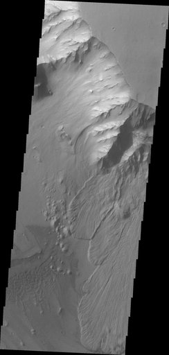
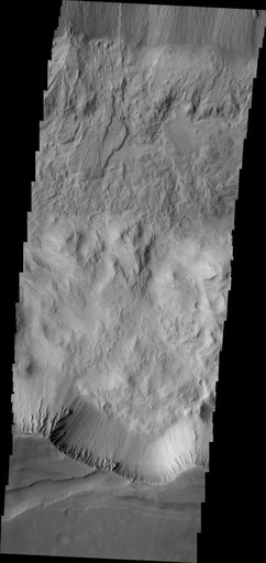
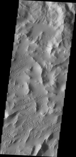
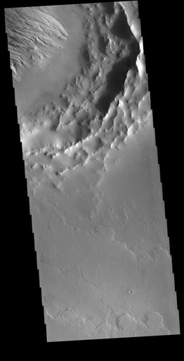
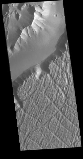
Today's VIS image is located near the beginning of Kasei Valles. At the top of the image is the relative high land of Lunae Planum. The Kasei Valles channel is just below. The bottom part of the image is an eroded surface that forms an island in the channel. The surface of the island has been modified by the flow of water. The linear features forming right angle intersections were caused by tectonic forces in the region.
NASA Image and Video Library’s own descriptionSubjects
Credit lineKasei Valles. NASA/JPL, 2018-07-09. Public domain. ID: PIA22584.