Public domain
Death Valley Heats Up
From the collection of NASA Image and Video Library. Free to download, adapt and use — no permission needed.
About this work
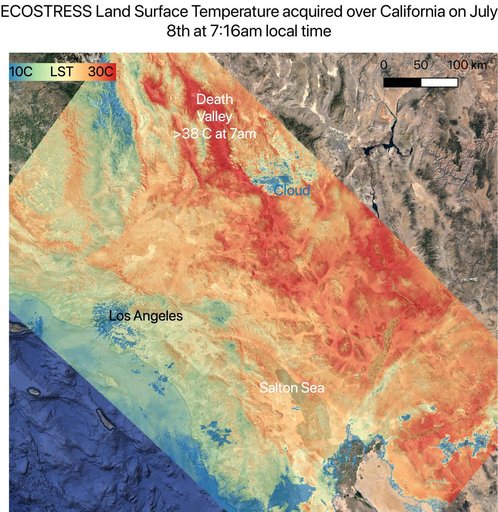
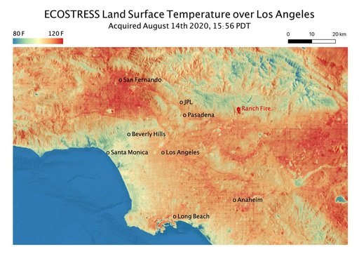
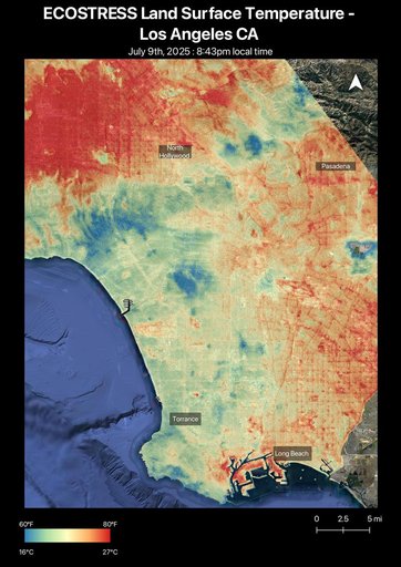
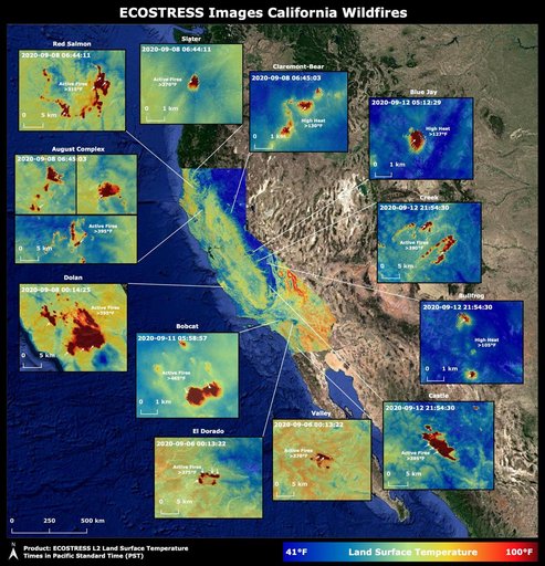
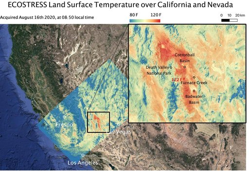
This temperature map shows the land surface temperatures around Death Valley in California's Mojave Desert on Aug. 16, 2020. The observation was made possible by NASA's Ecosystem Spaceborne Thermal Radiometer Experiment on Space Station (ECOSTRESS), which measured a peak land surface temperature of 122.52 degrees Fahrenheit (50.29 degrees Celsius) near Furnace Creek. ECOSTRESS collected this data when the space station passed over California at about 8:50 a.m. PDT (11:50 a.m.
NASA Image and Video Library’s own descriptionSubjects
Credit lineDeath Valley Heats Up. NASA/JPL, 2020-08-19. Public domain. ID: PIA23787.