Public domain
Lucus Planum Yardangs
From the collection of NASA Image and Video Library. Free to download, adapt and use — no permission needed.
About this work
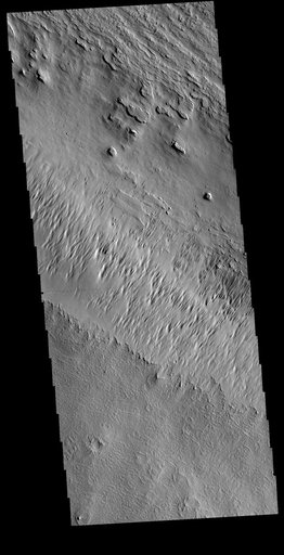
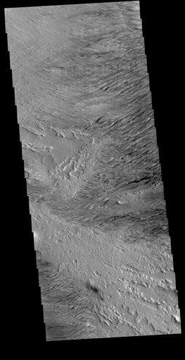
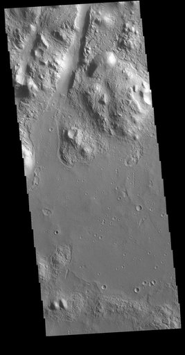
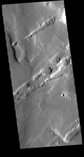
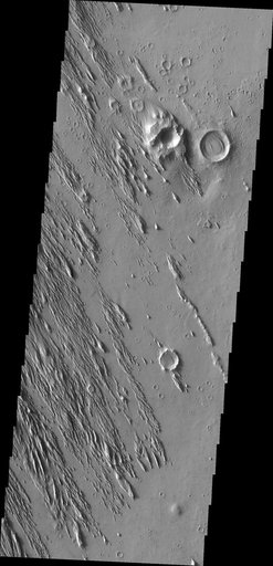
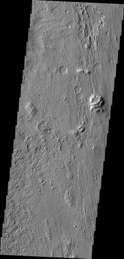
Today's VIS image is located on Lucus Planum. The surface in this image has been eroded by the wind to form features called yardangs. Yardangs form in a poorly cemented material where the wind cuts linear valleys, removing some of the material and leaving parallel ridges behind. The direction of the ridge/valley is aligned with the wind direction. The dominant wind direction in this region is along a northeast/southwest trend; however, other wind directions can occur within a localized region.
NASA Image and Video Library’s own descriptionSubjects
Credit lineLucus Planum Yardangs. NASA/JPL, 2020-07-22. Public domain. ID: PIA24008.