Public domain
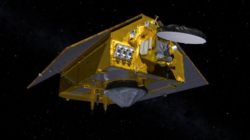
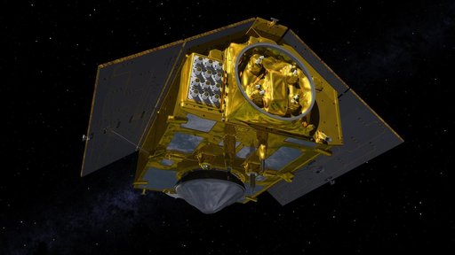
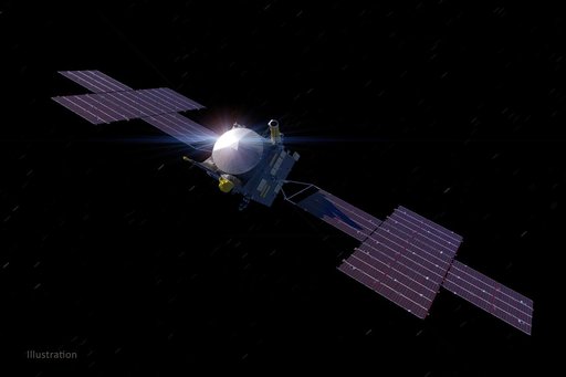
SWOT in Orbit With View of KaRIn Instrument (Illustration)
From the collection of NASA Image and Video Library. Free to download, adapt and use — no permission needed.
About this work
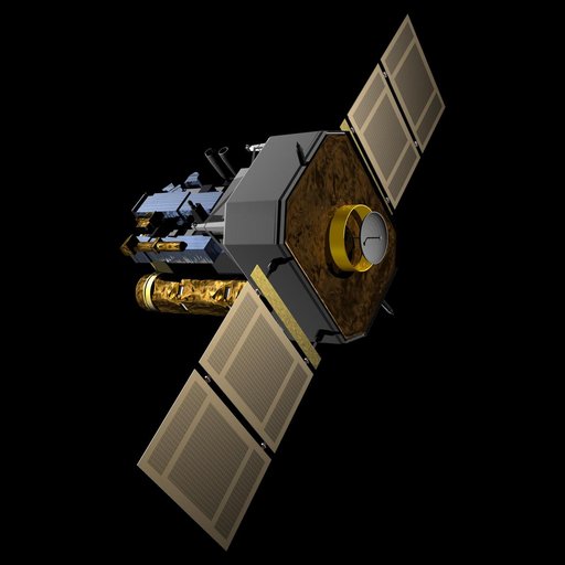
This illustration depicts the Surface Water and Ocean Topography satellite, a mission led by NASA and the French space agency Centre National d'Études Spatiales (CNES). The scientific heart of the SWOT satellite is the Ka-band Radar Interferometer (KaRIn) instrument, which will measure the height of water in Earth's lakes, rivers, reservoirs, and ocean.
NASA Image and Video Library’s own descriptionCredit lineSWOT in Orbit With View of KaRIn Instrument (Illustration). NASA/JPL, 2022-11-14. Public domain. ID: PIA24530.