Public domain
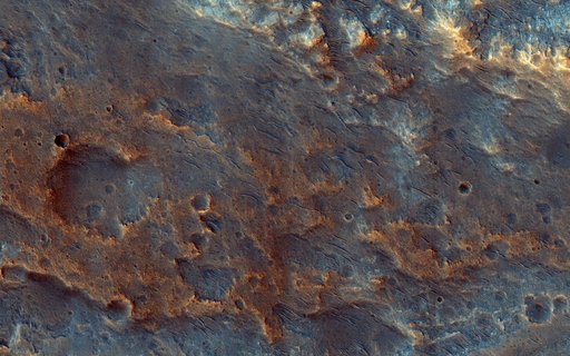
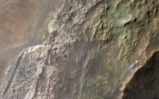
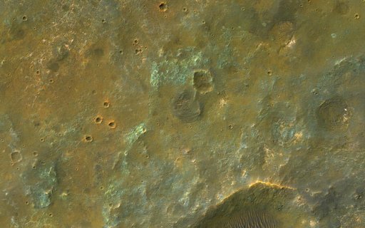
Colorful Plains South of Coprates Chasma
From the collection of NASA Image and Video Library. Free to download, adapt and use — no permission needed.
About this work
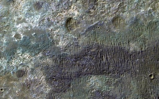
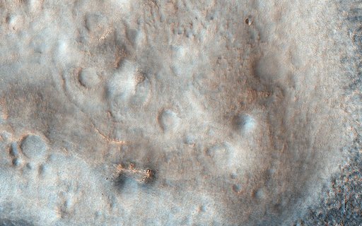
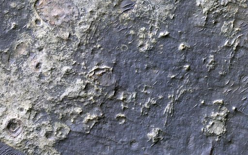
This image covers the high plains about 25 kilometers (15 miles) south of Coprates Chasma, near the eastern end of the Valles Marineris canyon system. Here, the CRISM instrument on MRO has detected clay minerals, which imply substantial water-rock interactions in the past. These minerals often have a reddish- to yellow appearance in HiRISE images. In this observation, the minerals appear concentrated along the boundaries of polygons up to 10 meters across.
NASA Image and Video Library’s own descriptionCredit lineColorful Plains South of Coprates Chasma. NASA/JPL, 2021-07-28. Public domain. ID: PIA24700.