Public domain
NASA's MISR Captures Hurricane Bonnie
From the collection of NASA Image and Video Library. Free to download, adapt and use — no permission needed.
About this work
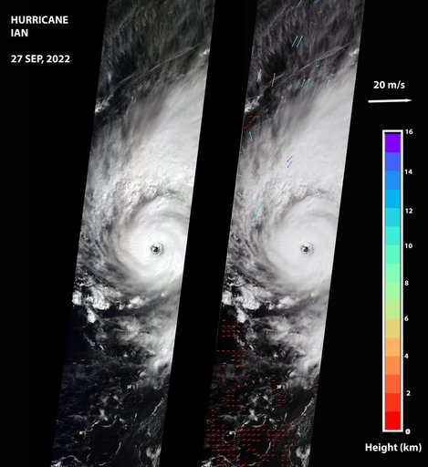
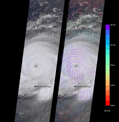
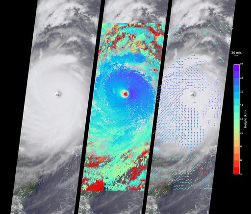
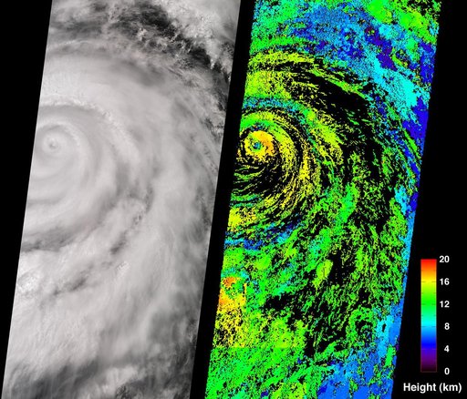
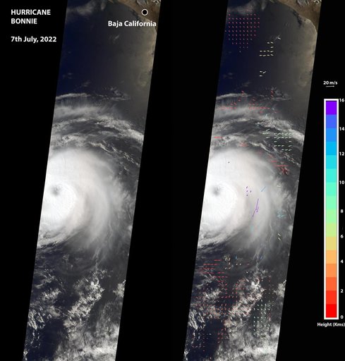
The Multi-angle Imaging SpectroRadiometer (MISR) instrument aboard NASA's Terra satellite captured this image of the eye of Hurricane Bonnie, located about 500 miles (800 kilometers) southwest of the southern tip of Baja California, Mexico, at about 11 a.m. local time on July 7, 2022. Initially classified as a tropical storm on July 2, Bonnie intensified to a Category 3 hurricane on July 5. It was later downgraded, and as of July 8, was considered a tropical storm.
NASA Image and Video Library’s own descriptionCredit lineNASA's MISR Captures Hurricane Bonnie. NASA/JPL, 2022-07-08. Public domain. ID: PIA24906.