Public domain
Athabasca Valles
From the collection of NASA Image and Video Library. Free to download, adapt and use — no permission needed.
About this work
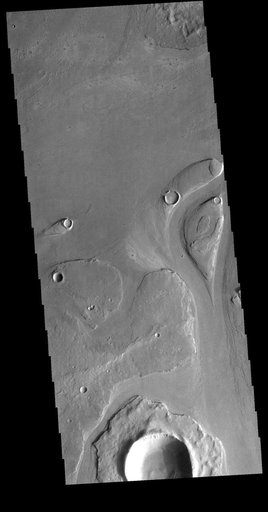
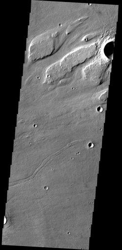
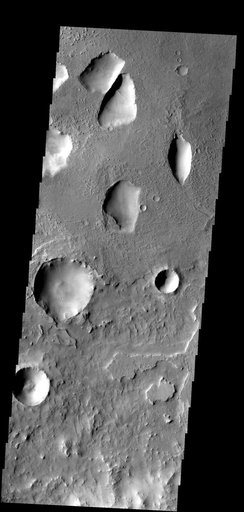
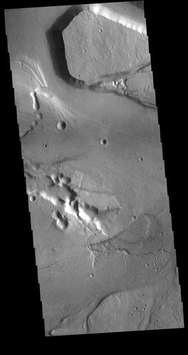
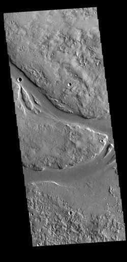
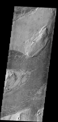
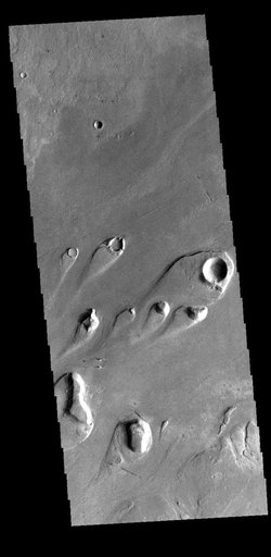
Today's VIS image shows part of Athabasca Valles. Multiple streamlined islands are seen in this image. The teardrop shaped features were formed by liquid flow deflected around features such as craters and hills. The 'tail' of the island points downstream. The source of the fluid was likely an outburst of groundwater, perhaps related to the Elysium volcanic complex located to the northwest of this image. Arising from Cerberus Fossae, the formation mode of this channel is still being debated.
NASA Image and Video Library’s own descriptionSubjects
Credit lineAthabasca Valles. NASA/JPL, 2022-08-08. Public domain. ID: PIA25466.