Public domain
Crater Gullies
From the collection of NASA Image and Video Library. Free to download, adapt and use — no permission needed.
About this work
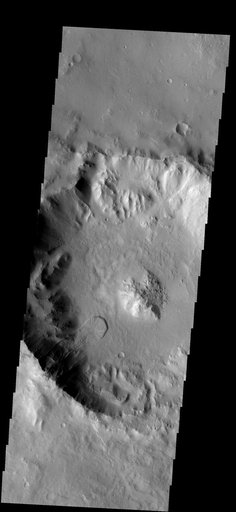
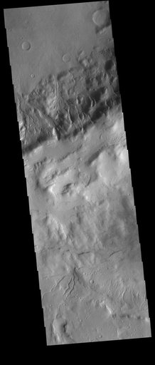
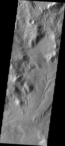
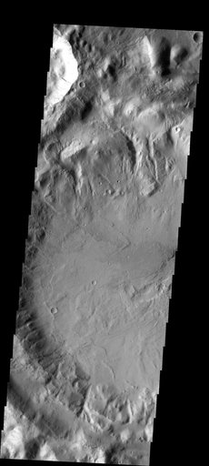
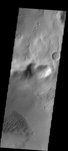
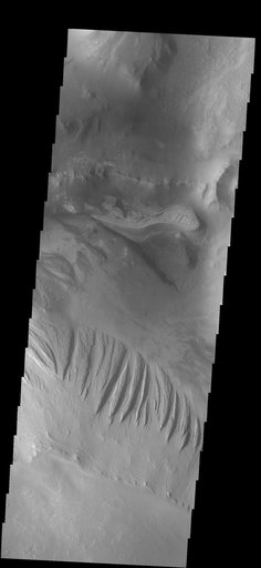
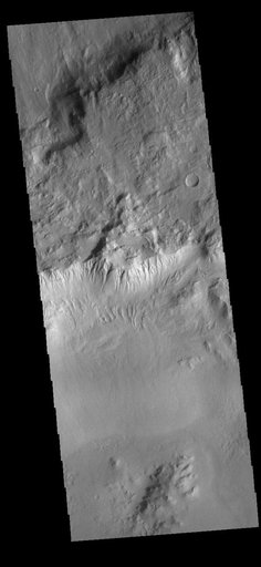
This VIS image shows part of the rim of an unnamed crater in Terra Sirenum. A group of channels dissect the rim in the center of the image. These channels are called gullies due to being on a steep slope rather than a flat river plain. In some images it is possible to see a boundary layer between the upper incised gully and a lower deposition region. The boundary marks a change in slope, the steep upper portion supports fast moving fluid that carves into the rim eroding materials.
NASA Image and Video Library’s own descriptionSubjects
Credit lineCrater Gullies. NASA/JPL, 2022-10-04. Public domain. ID: PIA25542.