Public domain
Ophir and Candor Chasmata
From the collection of NASA Image and Video Library. Free to download, adapt and use — no permission needed.
About this work
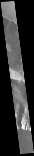
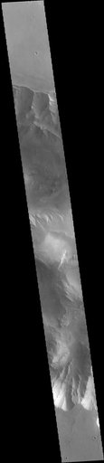
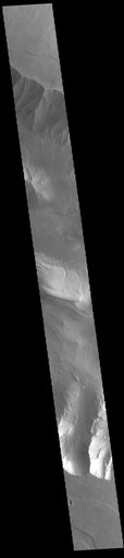
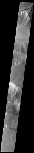
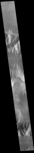
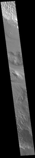
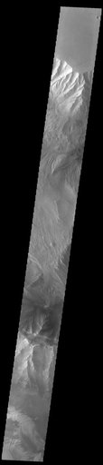
Today's VIS image shows western parts of Ophir Chasma (top of image) and Candor Chasma (bottom of image). Both are part of Valles Marineris. Candor Chasma is approximately 810 km long (503 miles) and is divided into two regions – eastern and western Candor. Ophir Chasma is approximately 317km long (197 miles). The floors of both chasmata include a variety of landforms, including layered deposits, dunes, landslide deposits and steep sided cliffs and mesas.
NASA Image and Video Library’s own descriptionSubjects
Credit lineOphir and Candor Chasmata. NASA/JPL, 2023-03-24. Public domain. ID: PIA25850.