Public domain
Memnonia Sulci
From the collection of NASA Image and Video Library. Free to download, adapt and use — no permission needed.
About this work
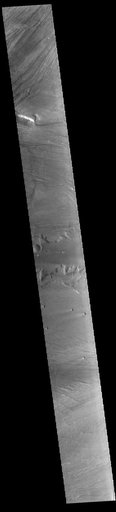
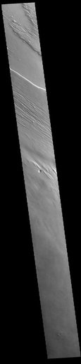
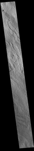
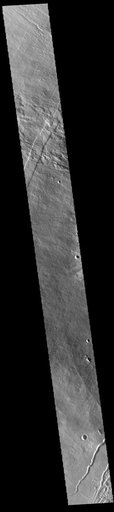
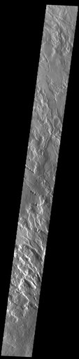
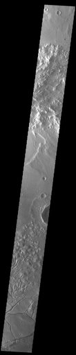
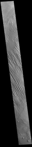
Today's VIS image shows some of the extensive wind etched terrain in Memnonia Sulci, located east of Apollinaris Mons. Memnonia Sulci is part of the Medusae Fossae Formation, a region of soft, easily eroded deposits that extends for nearly 5000km (3106 miles) along the equator of Mars between Olympus Mons and Apollinaris Mons. In this region, like many others throughout the Medusae Fossae Formation, the surface has been eroded by the wind into a series of linear ridges called yardangs.
NASA Image and Video Library’s own descriptionSubjects
Credit lineMemnonia Sulci. NASA/JPL, 2023-07-18. Public domain. ID: PIA26027.