Public domain
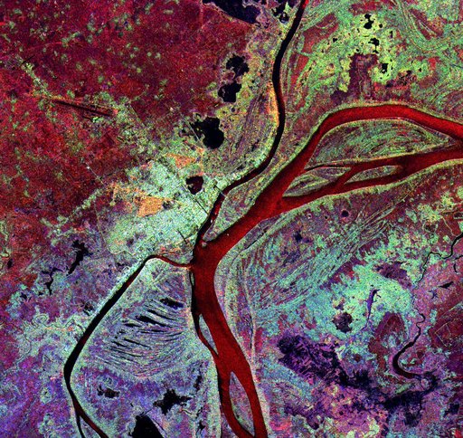
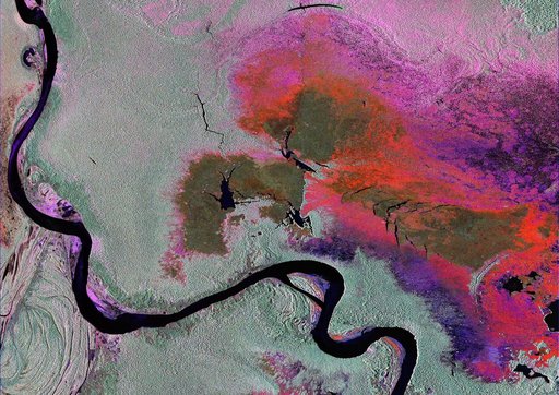
Radar Image of Amazonian Flooding Similar to Future NISAR Imagery
From the collection of NASA Image and Video Library. Free to download, adapt and use — no permission needed.
About this work
To show the kind of imagery that data from the NISAR (NASA-ISRO Synthetic Aperture Radar) satellite mission will be used to produce, researchers pointed to a 2013 image of flooding extent in the Pacaya-Samaria National Reserve that used data from the Uninhabited Aerial Vehicle Synthetic Aperture Radar (UAVSAR), an airborne system.
NASA Image and Video Library’s own descriptionCredit lineRadar Image of Amazonian Flooding Similar to Future NISAR Imagery. NASA/JPL, 2023-10-27. Public domain. ID: PIA26112.