Public domain
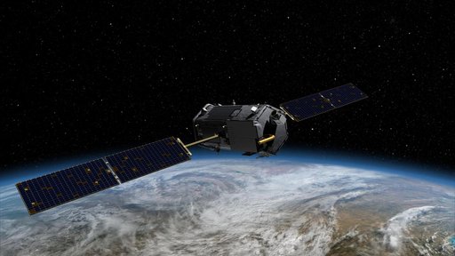
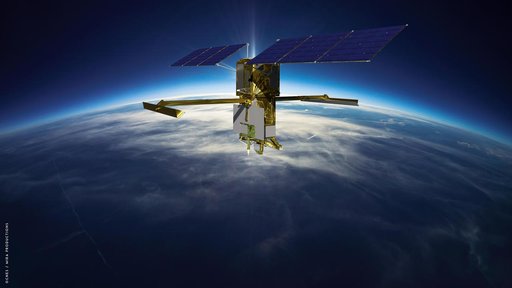
Carbon Mapper Coalition's Tanager Satellite
From the collection of NASA Image and Video Library. Free to download, adapt and use — no permission needed.
About this work
An artist's concept depicts one of the Carbon Mapper Coalition's Tanager satellites, which will use imaging spectrometer technology developed at NASA's Jet Propulsion Laboratory in Southern California to measure methane and carbon dioxide point-source emissions, down to the level of individual facilities and equipment, on a global scale. The Tanager-1 satellite, launched from Vandenberg Space Force Based in California on Aug.
NASA Image and Video Library’s own descriptionSubjects
Credit lineCarbon Mapper Coalition's Tanager Satellite. NASA/JPL, 2024-08-16. Public domain. ID: PIA26411.