Public domain
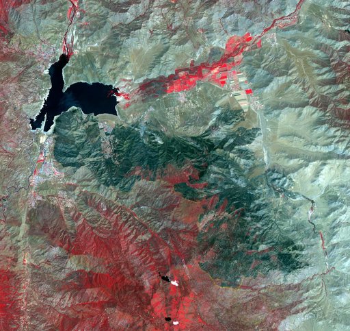
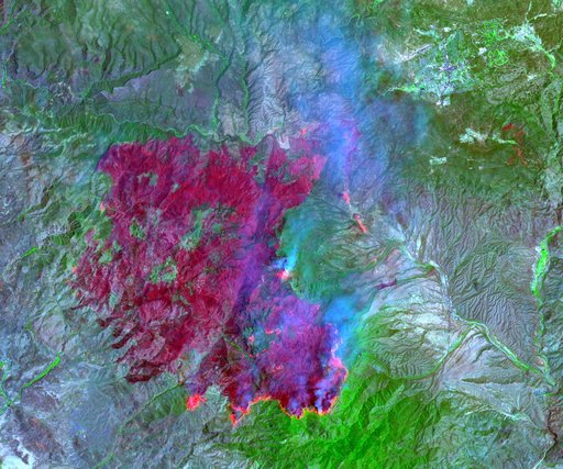
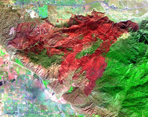
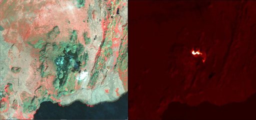
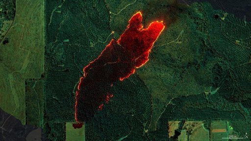
AVIRIS-3 Sensor Captures Data on Wildfire Near Castleberry, Alabama
From the collection of NASA Image and Video Library. Free to download, adapt and use — no permission needed.
About this work
NASA's AVIRIS-3 sensor, an airborne imaging spectrometer built and operated by the agency's Jet Propulsion Laboratory in Southern California, captured infrared data of a roughly 120-acre wildfire about 3 miles (5 kilometers) east of the town of Castleberry, Alabama, on March 19, 2025.
NASA Image and Video Library’s own descriptionCredit lineAVIRIS-3 Sensor Captures Data on Wildfire Near Castleberry, Alabama. NASA/JPL, 2025-04-23. Public domain. ID: PIA26497.