Public domain
Researchers Test Mars Drone Software in Death Valley
From the collection of NASA Image and Video Library. Free to download, adapt and use — no permission needed.
About this work
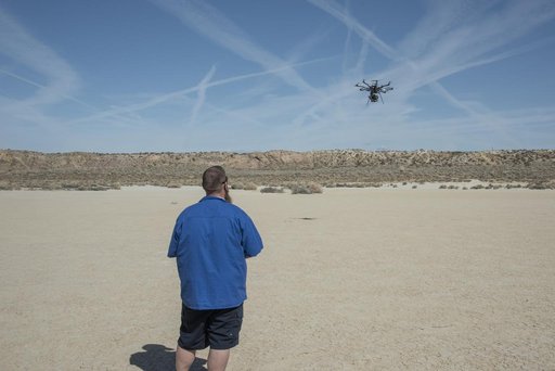
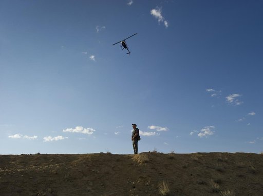
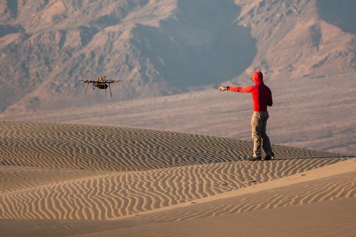
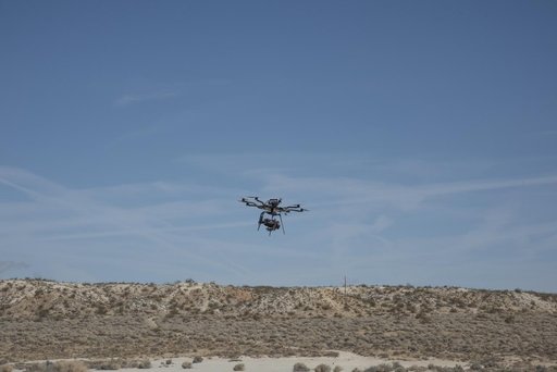
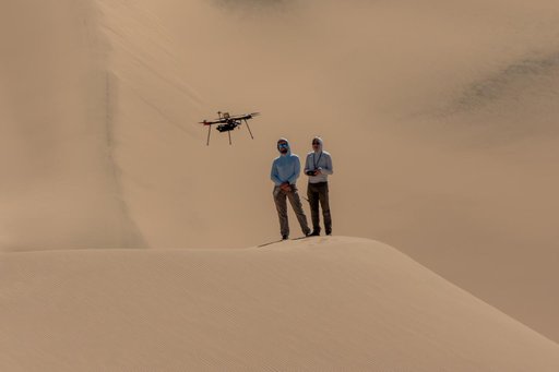
The work was among 25 projects funded by NASA’s Mars Exploration Program this past year to push the limits of future technologies. Sand dunes confused the navigation algorithm of the Ingenuity Mars helicopter during several of its last flights, including its 72nd and final flight on the Red Planet in January 2024. The navigation software in development would help future rotorcraft track the surface of especially bland, featureless terrain similar to the barren Dumont Dunes.
NASA Image and Video Library’s own descriptionSubjects
Credit lineResearchers Test Mars Drone Software in Death Valley. NASA/JPL, 2025-12-03. Public domain. ID: PIA26674.