Public domain
S72-01711
From the collection of NASA Image and Video Library. Free to download, adapt and use — no permission needed.
About this work
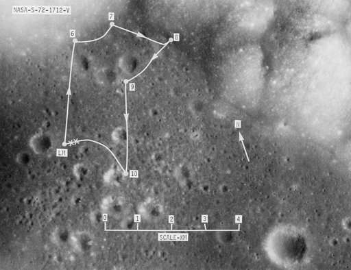
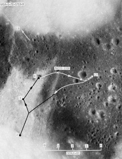
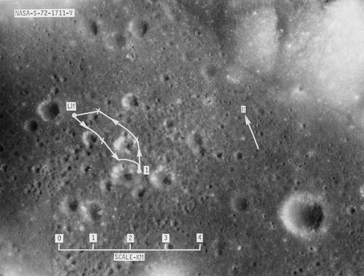
S72-01711 (July 1972) --- A vertical view of the Apollo 17 landing site in the Taurus-Littrow area of the lunar nearside, with an overlay showing the Lunar Roving Vehicle traverse proposed for the first extravehicular activity. The scale at the bottom is measured in kilometers. One kilometer equals 0.6214 statute mile. The coordinates of the Apollo 17 touchdown point are 30 degrees 44 minutes 58 seconds east longitude and 20 degrees 9 minutes 50 seconds north latitude.
NASA Image and Video Library’s own descriptionCredit lineS72-01711. NASA/JSC, 2008-08-13. Public domain. ID: S72-01711.