Public domain
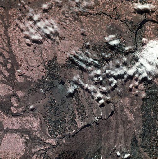
View of southeastern Washington State
From the collection of NASA Image and Video Library. Free to download, adapt and use — no permission needed.
About this work
SL3-22-0214 (July-September 1973) --- A vertical view of southeastern Washington State as photographed from Earth orbit by one of the six lenses of the Itek-furnished S190-A Multispectral Photographic Facility Experiment aboard the Skylab space station. The Snake River flows into the Columbia River in the most southerly corner of the picture. The Wallula Lake is below the junction of the two rivers. The Yakima Valley is at the southwestern edge of the photograph.
NASA Image and Video Library’s own descriptionSubjects
Credit lineView of southeastern Washington State. NASA/JSC, 1973-08-30. Public domain. ID: SL3-22-0214.
Similar works
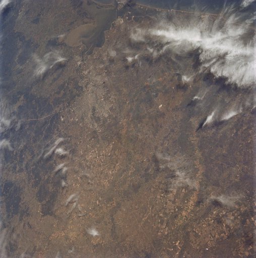 Oblique view of Houston, Texas as seen from Apollo 9
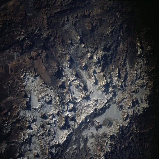 Earth observations taken during the STS-71 mission
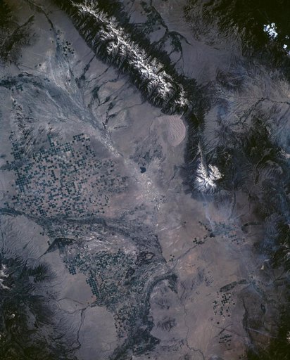 Great Sand Dune National Monument, CO, USA
 Phoenix, AZ, USA
 Earth observations taken from Space Shuttle Columbia during STS-78 mission
 Earth observations taken from Space Shuttle Columbia during STS-78 mission