Public domain
Earth Observations taken by the Expedition 10 crew
From the collection of NASA Image and Video Library. Free to download, adapt and use — no permission needed.
About this work
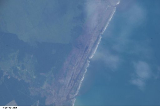
ISS010E12876 (13 January 2005) --- One of a series of post-tsunami digital still images which were photographed from the International Space Station on January 13, 2005. This image is centered at 4.07 degrees north latitude and 96.23 degrees east longitude on the northwest coast of Sumatra. According to NASA scientists studying the ISS imagery, the frame shows a devegetated coastal condition, caused by the tsunami.
NASA Image and Video Library’s own descriptionCredit lineEarth Observations taken by the Expedition 10 crew. NASA/JSC, 2005-01-13. Public domain. ID: iss010e12876.
Similar works
 Earth Observations taken by the Expedition Seven crew
 Earth Observations taken by the Expedition 35 Crew
 Earth Observations taken by Expedition 34 crewmember
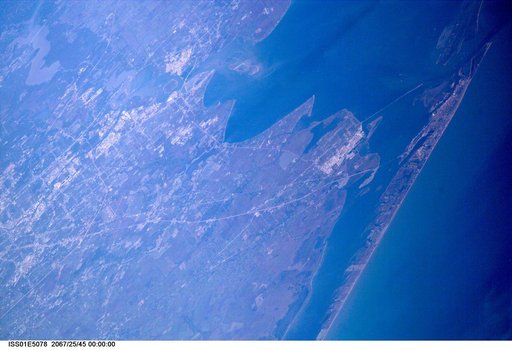 Houston and Texas City as seen from ISS
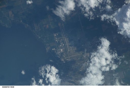 Earth observations taken by the Expedition Seven crew
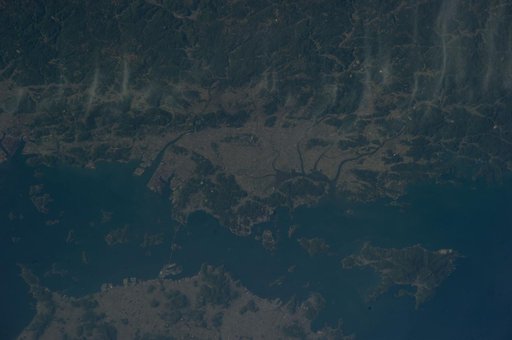 Earth Observations taken by the Expedition 39 Crew