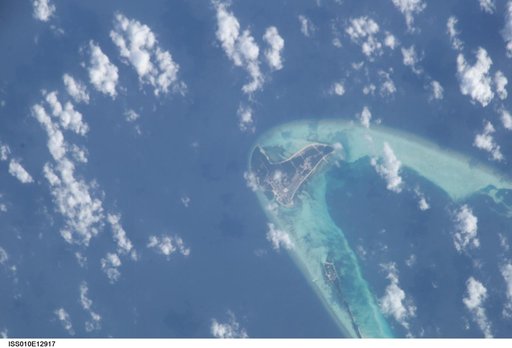
Public domain
Earth Observations taken by the Expedition 10 crew
From the collection of NASA Image and Video Library. Free to download, adapt and use — no permission needed.
About this work
ISS010-E-12917 (13 January 2005) --- One of a series of post-tsunami digital still images photographed from the International Space Station on January 13, 2005. This image, centered at 4.9 degrees north latitude and 72.9 degrees east longitude, and one of several showing the Maldives, shows the east portion of Goidhoo (also called Horsburgh) Atoll. Also visible are Goidhoo (Goidu) Island and Fehendoo (Fehendu) Island.
NASA Image and Video Library’s own descriptionCredit lineEarth Observations taken by the Expedition 10 crew. NASA/JSC, 2005-01-13. Public domain. ID: iss010e12917.
Similar works
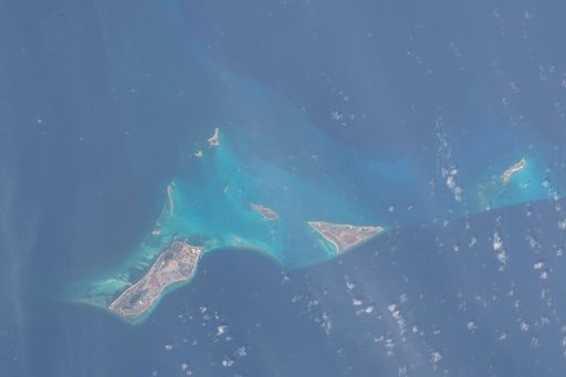 Turks and Caicos Earth Observations during Expedition 69
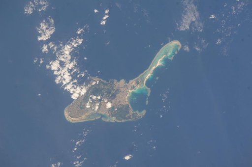 Earth Observations taken by the Expedition 39 Crew
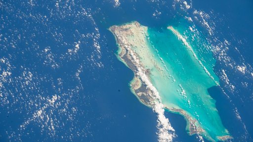 The Turks and Caicos Islands, a British Overseas Territory in the Atlantic Ocean
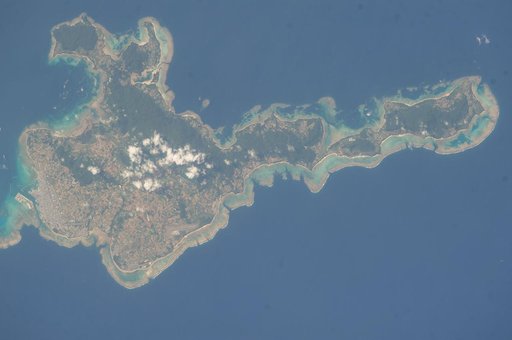 Earth Observations taken by the Expedition 39 Crew
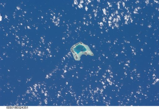 Earth Observations taken by the Expedition 18 Crew
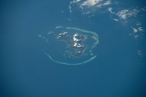 The Mayotte archipelago, a French overseas department and region