Public domain
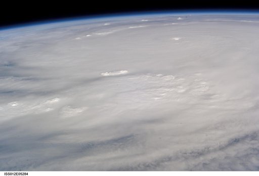
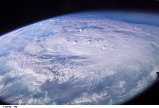
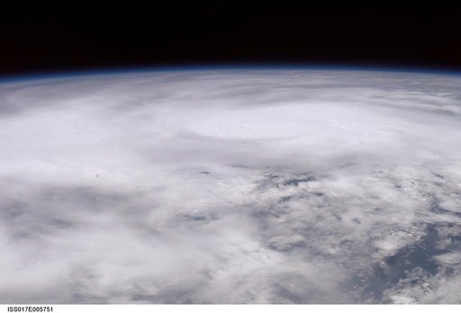
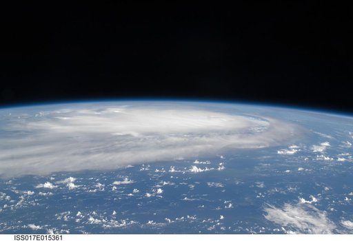
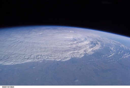
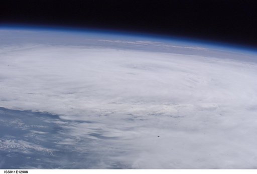
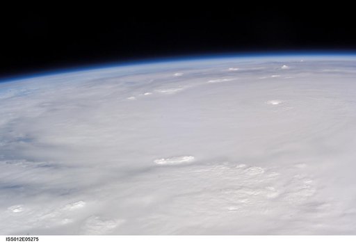
Crew Earth Observations of Hurricane Wilma taken during Expedition 12
From the collection of NASA Image and Video Library. Free to download, adapt and use — no permission needed.
About this work
ISS012-E-5275 (19 Oct. 2005) --- This image of Hurricane Wilma was taken at 8:24 a.m. CDT Wednesday, Oct. 19, by the crew aboard NASA's international space station as the complex flew 222 miles above the storm. At the time, Wilma was the strongest Atlantic hurricane in history, with winds near 175 miles per hour. The storm was located in the Caribbean Sea, 340 miles southeast of Cozumel, Mexico.
NASA Image and Video Library’s own descriptionCredit lineCrew Earth Observations of Hurricane Wilma taken during Expedition 12. NASA/JSC, 2005-10-19. Public domain. ID: iss012e05275.