Public domain
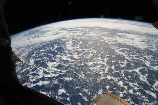
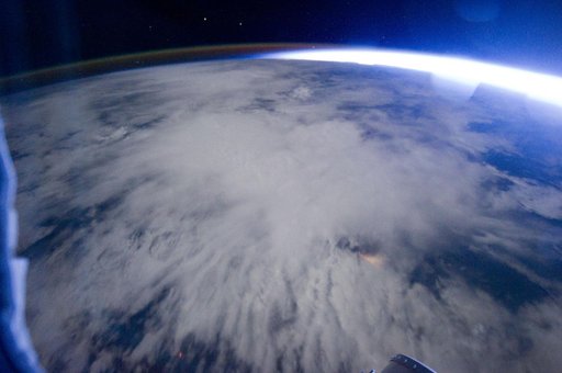
Earth Observation taken by the Expedition 29 crew
From the collection of NASA Image and Video Library. Free to download, adapt and use — no permission needed.
About this work
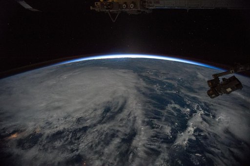
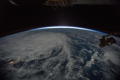
ISS029-E-005352 (16 Sept. 2011) --? One of the Expedition 29 crew members aboard the International Space Station, flying at an altitude of approximately 220 miles, took this night time picture showing Africa's Congo coast, clouds, airglow and Earth's terminator. Nadir coordinates are 5.32 degrees south latitude and 12.86 degrees east longitude.
NASA Image and Video Library’s own descriptionCredit lineEarth Observation taken by the Expedition 29 crew. NASA/JSC, 2011-09-16. Public domain. ID: iss029e005352.