Public domain
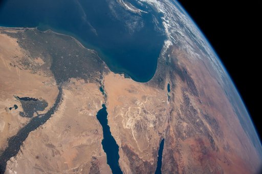
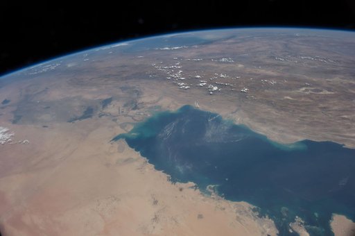
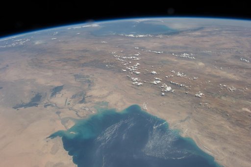
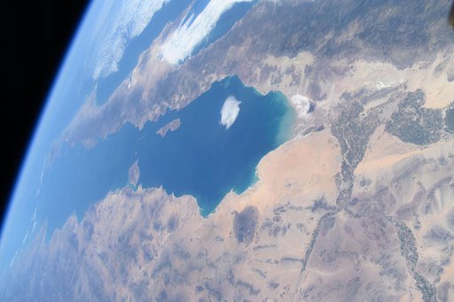
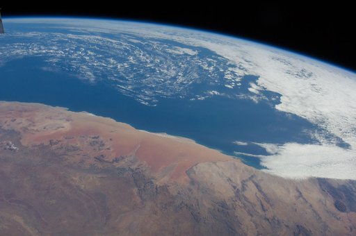
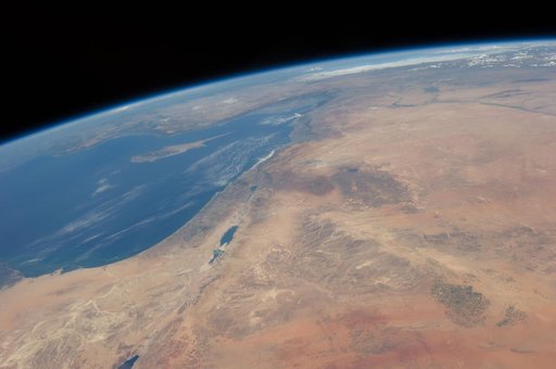
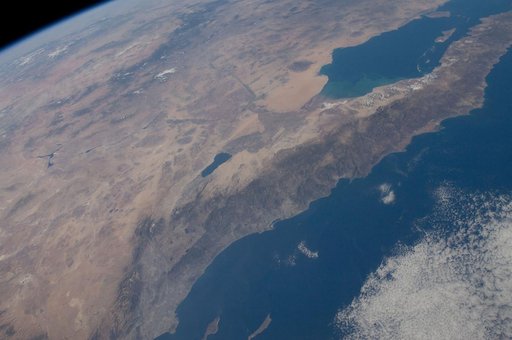
Earth observation taken by the Expedition 29 crew
From the collection of NASA Image and Video Library. Free to download, adapt and use — no permission needed.
About this work
ISS029-E-042846 (16 Nov. 2011) --- Parts of the U.S. and Mexico are seen in this image photographed by one of the Expedition 29 crew members from the International Space Station as it flew above the Pacific Ocean on Nov. 16, 2011. The Salton Sea is in the center of the frame, with the Gulf of Cortez, Mexico's Baja California and the Colorado River in the upper right quadrant. The Los Angeles Basin and Santa Catalina and San Clemente islands are at the bottom center edge of the image.
NASA Image and Video Library’s own descriptionCredit lineEarth observation taken by the Expedition 29 crew. NASA/JSC, 2011-11-16. Public domain. ID: iss029e042846.