Public domain
Earth Observation
From the collection of NASA Image and Video Library. Free to download, adapt and use — no permission needed.
About this work
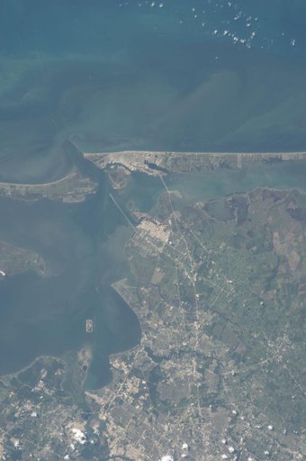
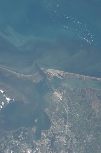
ISS036-E-037747 (28 Aug. 2013) --- One of the Expedition 36 crew members aboard the International Space Station on Aug. 28 photographed this vertical image that shows much of Galveston County and a small portion of southeast Harris County, Texas. Gulf of Mexico waters take up the top half of the picture. Galveston Island runs from just left of center through center right of the image, and the Bolivar Peninsula, highly impacted by Hurricane Ike five years ago, is the land mass at left center.
NASA Image and Video Library’s own descriptionCredit lineEarth Observation. NASA/JSC, 2013-08-28. Public domain. ID: iss036e037747.