Public domain
Hammersley Range, northern Western Australia
From the collection of NASA Image and Video Library. Free to download, adapt and use — no permission needed.
About this work
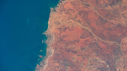
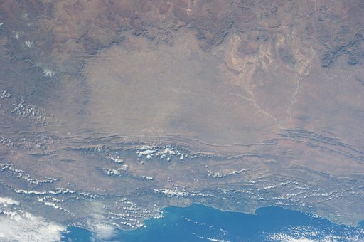
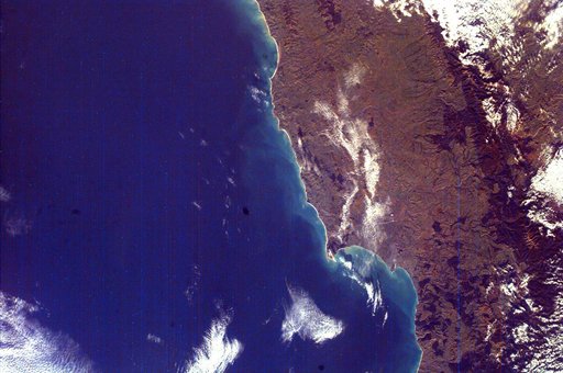
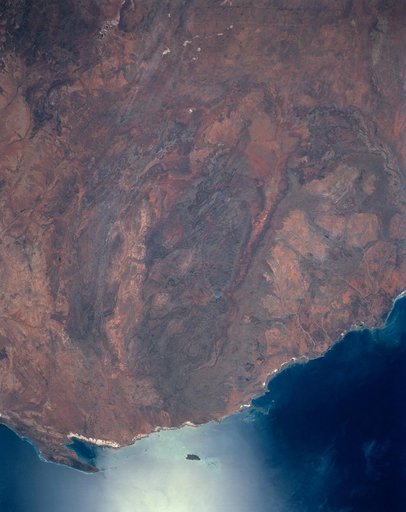
The oval shaped basin of the sedimentary rocks of the Hammersley Range, northern Western Australia (23.0S, 119.0E) dominates the center of this near nadir view. The Fortescue River is the remarkably straight, fault controlled feature bordering the Hammersley on the north. Sand dunes are the main surface features in the northeast and southwest. Many dry lakebeds can be seen to the east as light grey colored patches along the watercourses.
NASA Image and Video Library’s own descriptionCredit lineHammersley Range, northern Western Australia. NASA/JSC, 1990-04-29. Public domain. ID: s31-152-000dl.