Public domain
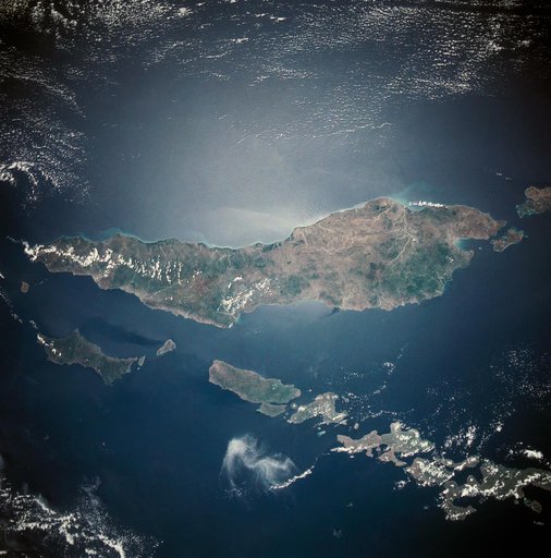
Island of Timor, Indonesia
From the collection of NASA Image and Video Library. Free to download, adapt and use — no permission needed.
About this work
This almost totally cloud free, photo of the island of Timor, Indonesia (9.0S, 125.0E) illustrates the volcanic origin of the over 1500 islands of Indonesia. Close examination of the photo reveals several eroded volcanoes on the Island of Timor and several of the adjacent islands. The linear alignment of the volcanoes, as seen from space, indicates the edges of the tectonic plates of the Earth's crust where volcanic activity is most common.
NASA Image and Video Library’s own descriptionCredit lineIsland of Timor, Indonesia. NASA/JSC, 1989-11-27. Public domain. ID: s33-82-071.
Similar works
 Earth observations taken during the STS-94 mission
 Earth observations taken during STS-8 mission
 Okinawa, Japan
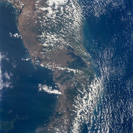 Earth observations taken during STS-98 mission
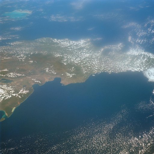 Island of Hispaniola, Dominican Republic as seen from Gemini 7 spacecraft
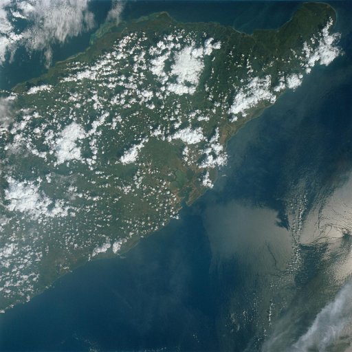 Orienete Province, eastern end of Cuba as seen from Gemini 7 spacecraft