Public domain
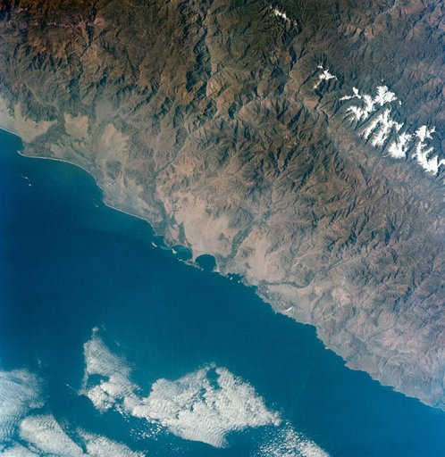
GT-9A - EARTH SKY - CENTRAL COASTAL AREA OF PERU
From the collection of NASA Image and Video Library. Free to download, adapt and use — no permission needed.
About this work
S66-38298 (5 June 1966) --- The central coastal area of Peru as seen from the Gemini-9A spacecraft during its 35th revolution of Earth. The body of water is the Pacific Ocean. The mountains are in the Cordillera Blanca range of the Andes. The 22,205-feet Huascaran is the highest peak in the area. The image was taken with a modified 70mm Hasselblad camera, using Eastman Kodak, Ektachrome MS (S.O.
NASA Image and Video Library’s own descriptionCredit lineGT-9A - EARTH SKY - CENTRAL COASTAL AREA OF PERU. NASA/JSC, 1966-06-05. Public domain. ID: s66-38298.
Similar works
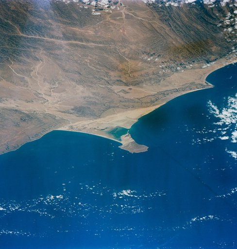 Earth-Sky - Gemini-Titan (GT)-6 - Africa
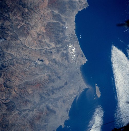 Earth observations taken from shuttle orbiter Atlantis during STS-84 mission
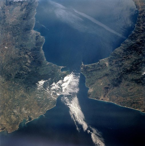 STS-56 Earth observation of the Strait of Gibraltar
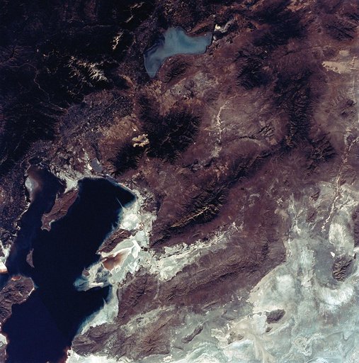 View of the Salt Lake City, Utah area
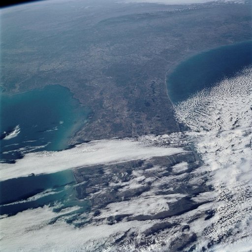 Earth Observations taken by the STS-109 crew
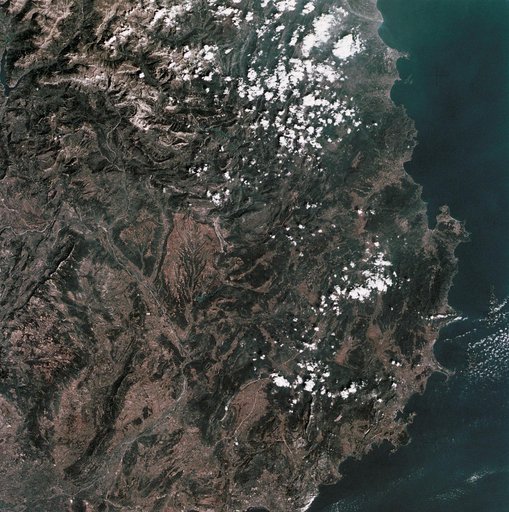 View of Mediterranean coastal area of southeastern France