Public domain
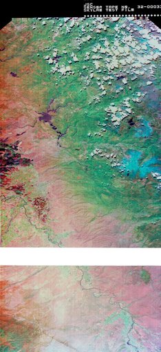
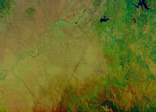
Multi-spectral Line Scanner image of Northern California
From the collection of NASA Image and Video Library. Free to download, adapt and use — no permission needed.
About this work
S73-34295B (June 1973) --- A vertical view of a portion of northern California reproduced from data taken from the Skylab Multispectral Scanner, experiment S192, in the Skylab space station in Earth orbit. This view is the most westerly one-third of Frame No. 001, Roll No. 518, S192, Skylab 2. Frame No. 001 extends from the Pacific coast at the Eureka area southeasterly 175 nautical miles to the Feather River drainage basin.
NASA Image and Video Library’s own descriptionCredit lineMulti-spectral Line Scanner image of Northern California. NASA/JSC, 1973-06-22. Public domain. ID: s73-34295b.