Public domain
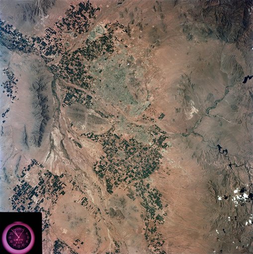
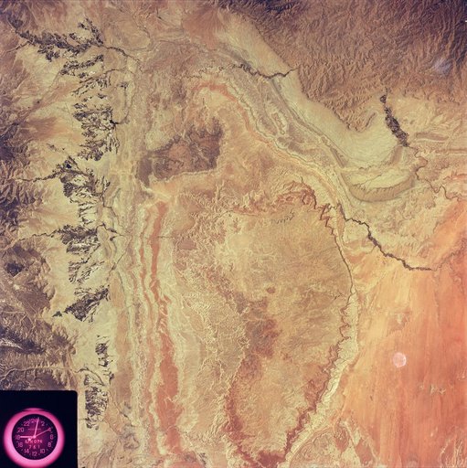
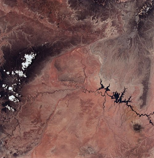
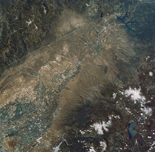
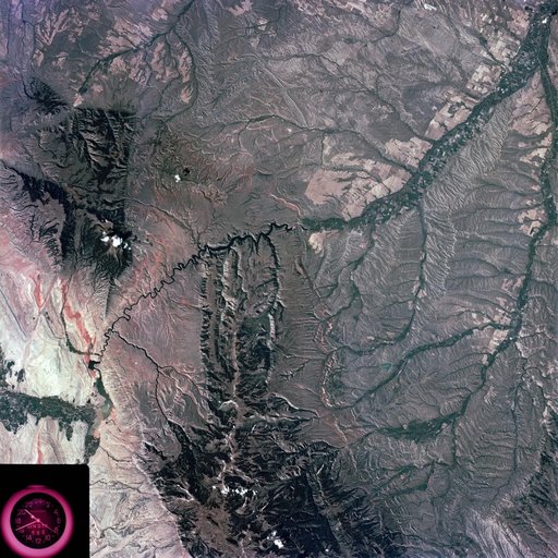
Slylab (SL)-3 View - North Central Wyoming (WY) - Southern Montana (MT)
From the collection of NASA Image and Video Library. Free to download, adapt and use — no permission needed.
About this work
S73-35081 (July-September 1973) --- A view of approximately 3,600 square miles of north central Wyoming and southern Montana is seen in this Skylab 3 Earth Resources Experiments Package S190-B (five-inch Earth terrain camera) photograph taken from the Skylab space station in Earth orbit. The Big Horn River following northward crosses between the northwest trending Big Horn Mountains and the Pryor Mountains.
NASA Image and Video Library’s own descriptionCredit lineSlylab (SL)-3 View - North Central Wyoming (WY) - Southern Montana (MT). NASA/JSC, 1973-08-15. Public domain. ID: s73-35081.