Public domain
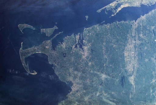
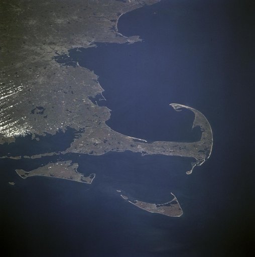
Lower New England, USA
From the collection of NASA Image and Video Library. Free to download, adapt and use — no permission needed.
About this work
SL2-103-967 (22 June 1973) --- This view of lower New England, (41.5N, 72.0W) shows a rare cloud-free area stretching from northern Long Island across the states of Connecticut, Rhode Island and Massachusetts. The total area covered by this photo is more than 25,000 square miles and includes all of Rhode Island, most of Massachusetts and Connecticut, part of New York and the coastal waters of the Atlantic Ocean. Cape Cod, Boston and the offshore islands are distinctive features.
NASA Image and Video Library’s own descriptionCredit lineLower New England, USA. NASA/JSC, 1973-06-22. Public domain. ID: sl2-103-967.
Similar works
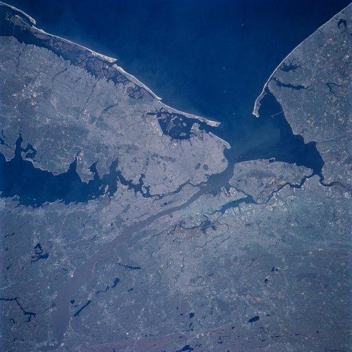 Earth observation image of New York, New York taken during STS-100
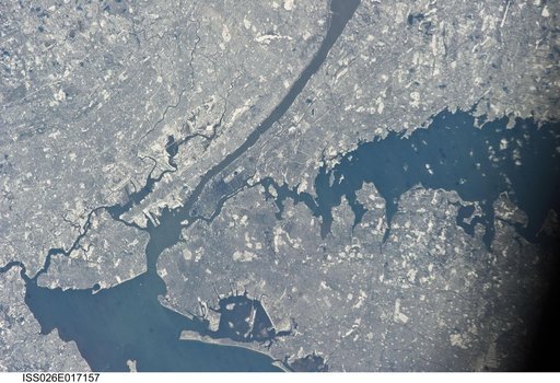 Earth Observations taken by Expedition 26 crewmember
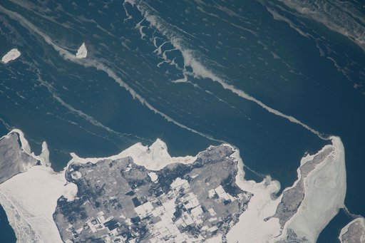 Earth Observations taken by Expedition 38 crewmember
 Earth observations taken from shuttle orbiter Columbia
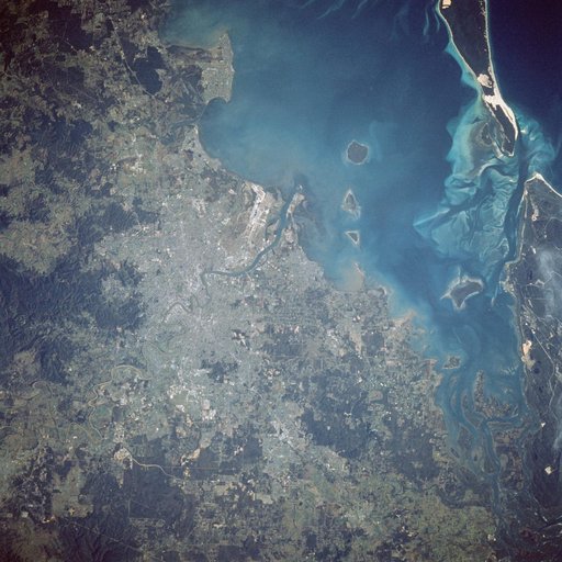 Earth observations taken during STS-41D mission.
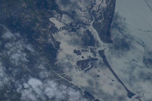 Venice, Italy, is pictured from the International Space Station