Public domain
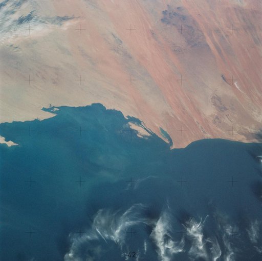
Northern half of Mauritania's Atlantic Coast from Skylab
From the collection of NASA Image and Video Library. Free to download, adapt and use — no permission needed.
About this work
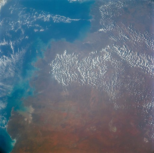
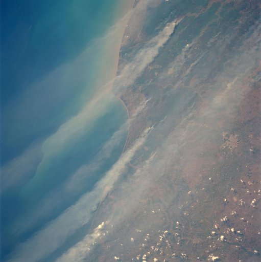
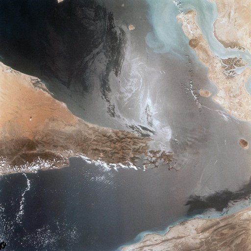
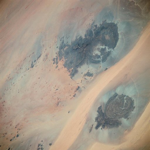
SL4-138-3756 (28 Dec. 1973) --- The northern half of Mauritania's Atlantic Coast, as photographed from the Skylab space station in Earth orbit by one of the Skylab 4 crewmen. The camera used was a hand-held 70mm Hasselblad, with SO-368 medium-speed Ektachrome. Spanish Sahara is just out of the picture to the north. The linear chains of sand dunes leading to the sea were the objects of study in an effort to better understand deserts and their formations.
NASA Image and Video Library’s own descriptionSubjects
Credit lineNorthern half of Mauritania's Atlantic Coast from Skylab. NASA/JSC, 1973-12-28. Public domain. ID: sl4-138-3756.