Public domain
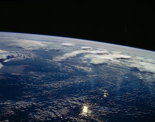
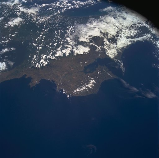
Costa Rica, Central America as seen from STS-60
From the collection of NASA Image and Video Library. Free to download, adapt and use — no permission needed.
About this work
STS060-85-000AD (3-11 Feb 1994) --- This photograph shows the Central American nations of Nicaragua, Costa Rica and parts of Panama. Lake Nicaragua defines the southern limits of the country of Nicaragua. The cloud-free portion of the photo shows Costa Rica, it's gulf and Peninsula of Nicoya. Agricultural land use is clearly seen around Nicoya and a few islands of tropical forests are seen at the edges. The capital city of San Jose, Costa Rica, is partly cloud-covered in this image.
NASA Image and Video Library’s own descriptionCredit lineCosta Rica, Central America as seen from STS-60. NASA/JSC, 1994-02-09. Public domain. ID: sts060-85-00ad.