CC0 · no rights reserved
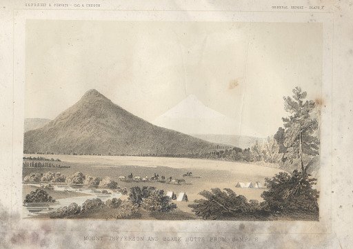
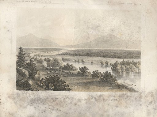
Mount Pitt Klamath River & Upper Klamath Lake from Camp 30
From the collection of National Museum of American History. Free to download, adapt and use — no permission needed.
About this work
This tinted lithograph of “Mount Ptt Klamath River & Upper Klamath Lake From Camp 30" was produced after an original sketch by John J. Young (1830-1879). It was printed as Plate IV in Volume VI following page 68, in the General Report, Part I, of the "Report of Lieutenant Henry L. Abbot (1831-1927), Corps of Topographical Engineers, Upon Explorations for a Railroad Route from the Sacramento Valley to the Columbia River made by Lieutenant R. S. Williamson (1825-1882), Corps of Topographical Engineers assisted by Lieutenant Henry L. Abbot, Corps of Topographical Engineers," 1855.
National Museum of American History’s own descriptionCredit lineMount Pitt Klamath River & Upper Klamath Lake from Camp 30. 1857. Tucker, Beverley. National Museum of American History. CC0.