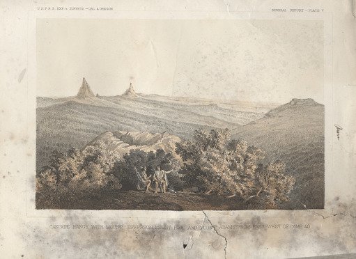
Cascade Range with Mount Jefferson, Mount Hood, and Moutn Adams from Pass West of Camp
From the collection of National Museum of American History. Free to download, adapt and use — no permission needed.
This tinted lithograph of “Cascade Range with Mount Jefferson, Mount Hood and Mount Adams from Pass West of Camp 40" was produced after an original sketch by John J. Young (1830-1879). It was printed as Plate V in Volume VI, Part I following page 78, in the "General Report" by Lieutenant Henry L. Abbot in "Report of Lieutenant Henry L. Abbot (1831-1927), Corps of Topographical Engineers, Upon Explorations for a Railroad Route from the Sacramento Valley to the Columbia River made by Lieutenant R. S. Williamson (1825-1882), Corps of Topographical Engineers assisted by Lieutenant Henry L. Abbot, Corps of Topographical Engineers," 1855.
National Museum of American History’s own descriptionSimilar works
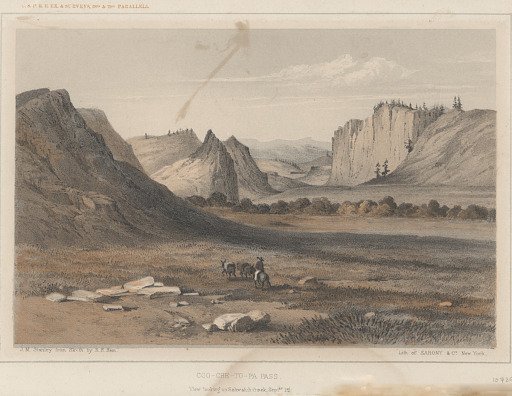 Coo-Che-To-Pa Pass: View Looking up Sawatch Creek Septbr 1st
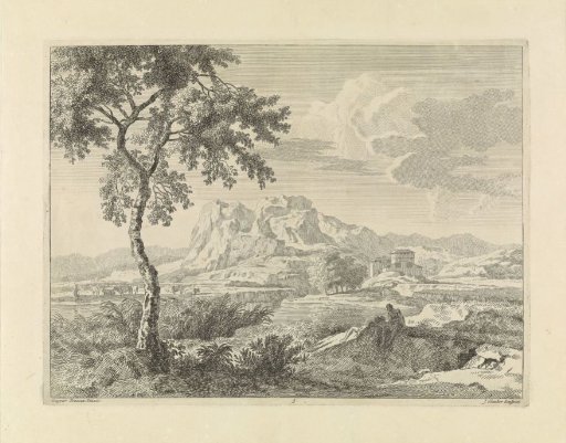 Hilly landscape with two bathers
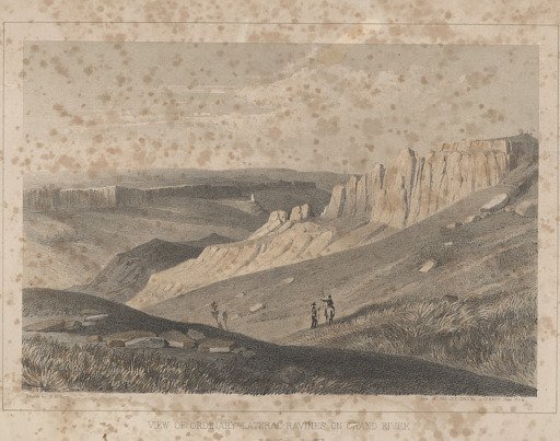 View of Ordinary Lateral Ravines on Grand River From Camp Septbr 3
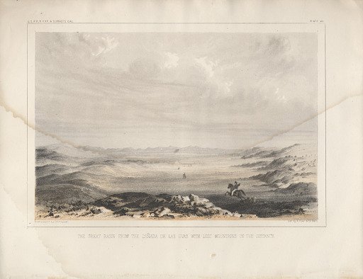 The Basin from the Canada de Las Uvas with Lost Mountains in the Distance
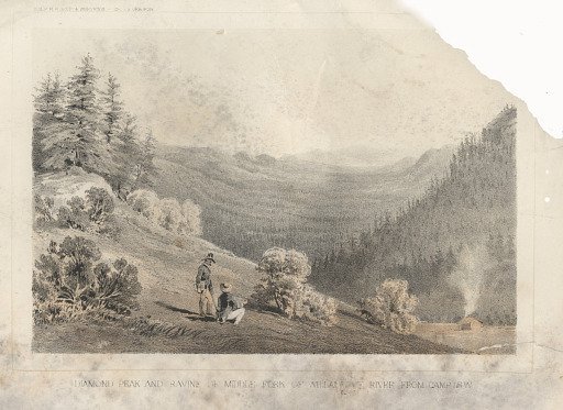 Diamond Peak and Ravine of Middle Fork of Willamette: River from Camp 48 W
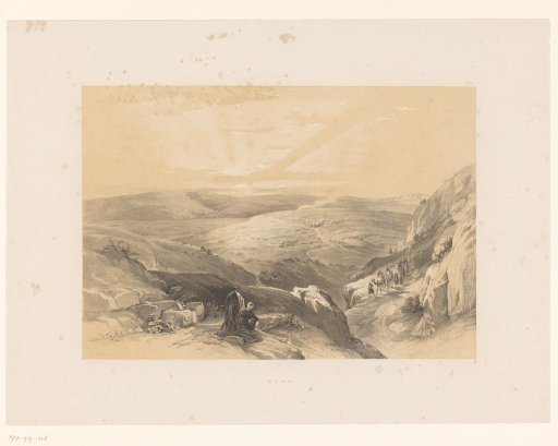 Travelers in a mountain landscape with a view of Cana