Public domain
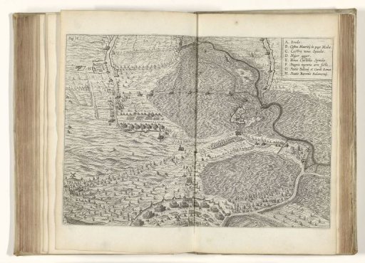
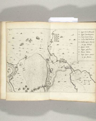
Map of the flooded area between the Spanish positions and the camp of Maurice, 1624-1625
From the collection of Rijksmuseum, Amsterdam. Free to download, adapt and use — no permission needed.
About this work
Map of the flooded area between the Spanish positions and the camp of Maurice, during the siege of Breda by the Spanish army under Spinola, 1624-1625. Top right the legend A-I.
Rijksmuseum, Amsterdam’s own descriptionCredit lineKaart van het ondergelopen gebied tussen de Spaanse posities en het legerkamp van Maurits, 1624-1625. 1625 - 1626. anonymous. Rijksmuseum, Amsterdam. Public domain.