Public domain
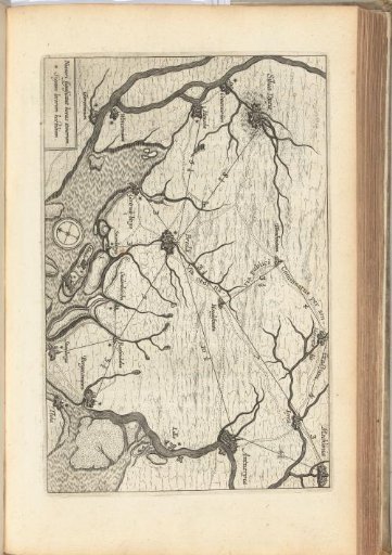
Map of the land around Breda, 1624-1625
From the collection of Rijksmuseum, Amsterdam. Free to download, adapt and use — no permission needed.
About this work
Map of the land around Breda between Mechelen, Steenbergen and 's-Hertogenbosch, showing the main roads and waterways, 1624-1625.
Rijksmuseum, Amsterdam’s own descriptionCredit lineKaart van het land rondom Breda, 1624-1625. 1625 - 1626. anonymous. Rijksmuseum, Amsterdam. Public domain.