Public domain
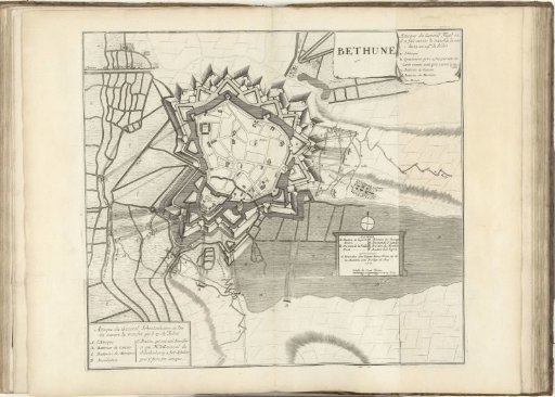
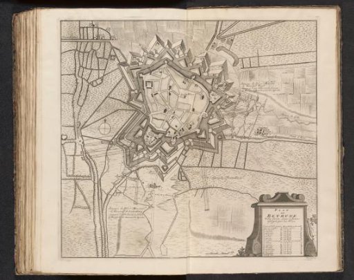
Map of the Siege of Béthune, 1710
From the collection of Rijksmuseum, Amsterdam. Free to download, adapt and use — no permission needed.
About this work
Map of the siege of Béthune by the Allies from July 1710. Numbered bottom right: Tom. II. No. 49. Illustration in the second volume of: [Jean] du Mont, Military description of the battles and sieges of the three ... famous generals... Prince Eugene of Savoy, the ... Duke of Marlborough, and the Prince of Orange and Nassau-Vriesland, in the 1729 edition. This second volume is mainly devoted to the deeds of the Duke of Marlborough and Prince Johan Willem Friso.
Rijksmuseum, Amsterdam’s own descriptionCredit lineKaart van het beleg van Béthune, 1710. 1710. Pieter van Call (II). Rijksmuseum, Amsterdam. Public domain.