Public domain
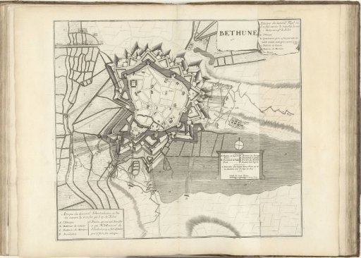
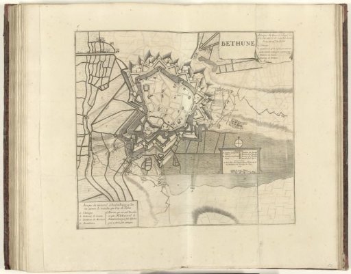
Map of the attacks on Béthune, 1710
From the collection of Rijksmuseum, Amsterdam. Free to download, adapt and use — no permission needed.
About this work
Plan of the city of Béthune with the attacks on the city by the Allies under General Fagel on 23-24 July and under General Schoulenberg on 27 July 1710. At the bottom a strip is attached (printed from a separate plate) with the cartouche with the legend A-E. On the right side of the print is also a strip attached (printed from a separate plate) with the cartouche with the legend a-e and part of the land. Part of a bound collection of plans of battles and cities famous in the War of the Spanish Succession.
Rijksmuseum, Amsterdam’s own descriptionSubjects
Credit lineKaart van de aanvallen op Béthune, 1710. 1710. Jacobus Harrewijn. Rijksmuseum, Amsterdam. Public domain.