Public domain
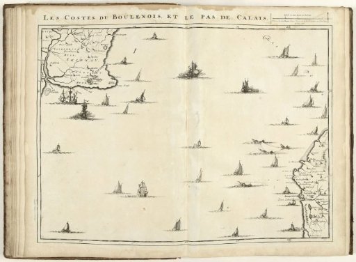
Map of the Strait of Calais, 1709
From the collection of Rijksmuseum, Amsterdam. Free to download, adapt and use — no permission needed.
About this work
Map of the Strait of Calais, 1709. Part of a bound collection of plans of battles and cities famous in the War of the Spanish Succession. This plate belongs to the first 24 plates that together form a very large map of the Southern Netherlands.
Rijksmuseum, Amsterdam’s own descriptionCredit lineKaart van het Nauw van Calais, 1709. 1709. Jacobus Harrewijn. Rijksmuseum, Amsterdam. Public domain.
Similar works
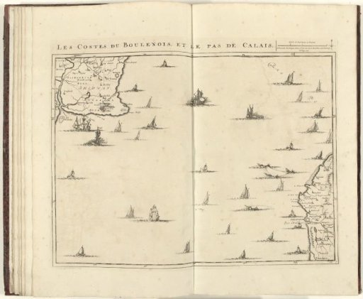 Map of the Strait of Calais, 1709
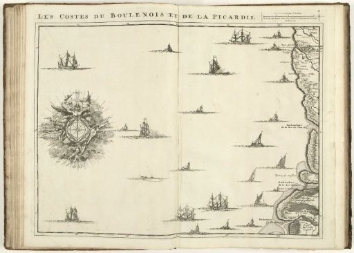 Map of the French Coast at Boulogne and Picardy, 1709
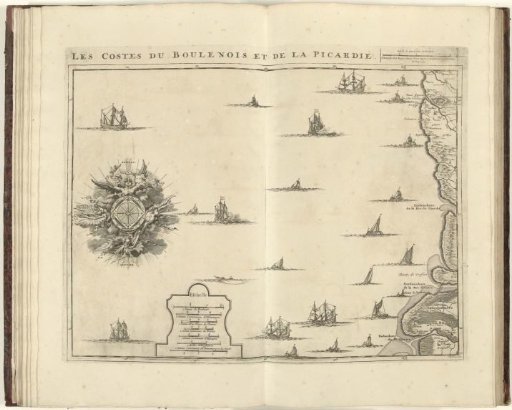 Map of the French coast at Boulogne and Picardy, 1709
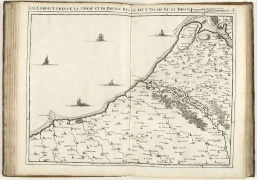 Map of the Coast of North France with the Mouths of the Somme and the Bresle, 1710
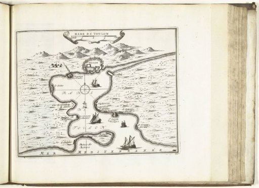 Roadstead of Toulon, 1726
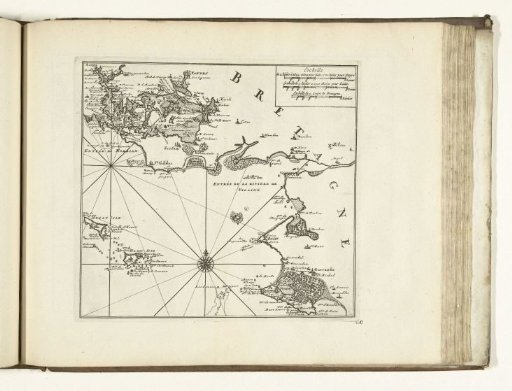 Map of the South Coast of Brittany near Vannes, 1726