Public domain
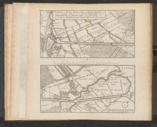
Map of the Proposed Canal between Utrecht and the Zuiderzee, 1720
From the collection of Rijksmuseum, Amsterdam. Free to download, adapt and use — no permission needed.
About this work
Map in two parts of the proposed canal to be dug between Utrecht and the Zuiderzee. For this project, funds were collected in 1720. Bottom right: a scale bar: Scale of 1000 Sticht rods. Print in the bound fourth edition (304 B 12) of *Het Groote Tafereel der Dwaasheid* with satirical prints on the Wind Trade or Share Trade of 1720.
Rijksmuseum, Amsterdam’s own descriptionCredit lineKaart van het voorgestelde kanaal tussen Utrecht en de Zuiderzee, 1720. 1720. anonymous. Rijksmuseum, Amsterdam. Public domain.
Similar works
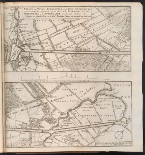 Chart of the Proposed Canal Between Utrecht and the Zuiderzee, 1720
 Map of the Allied camp at Denain, 1712
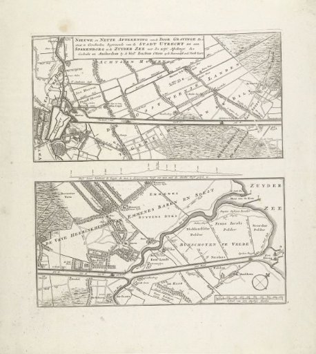 Map of the proposed canal between Utrecht and the Zuiderzee, 1720
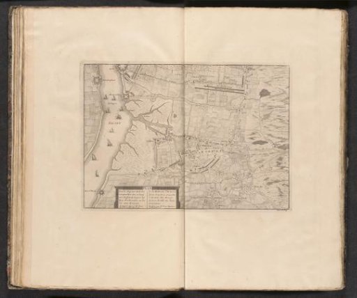 Map of the Battle of Ekeren, 1703
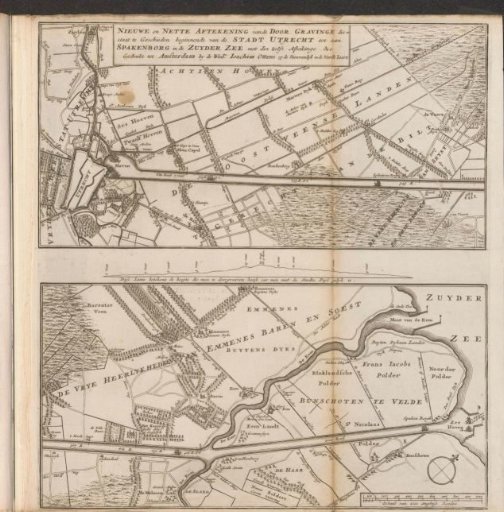 Map of the proposed canal between Utrecht and the Zuiderzee, 1720
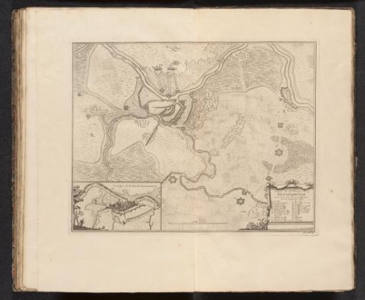 Map of the siege of Dendermonde, 1706